Specialized Zone · Philippines

City Walk Information Technology Park Under Development
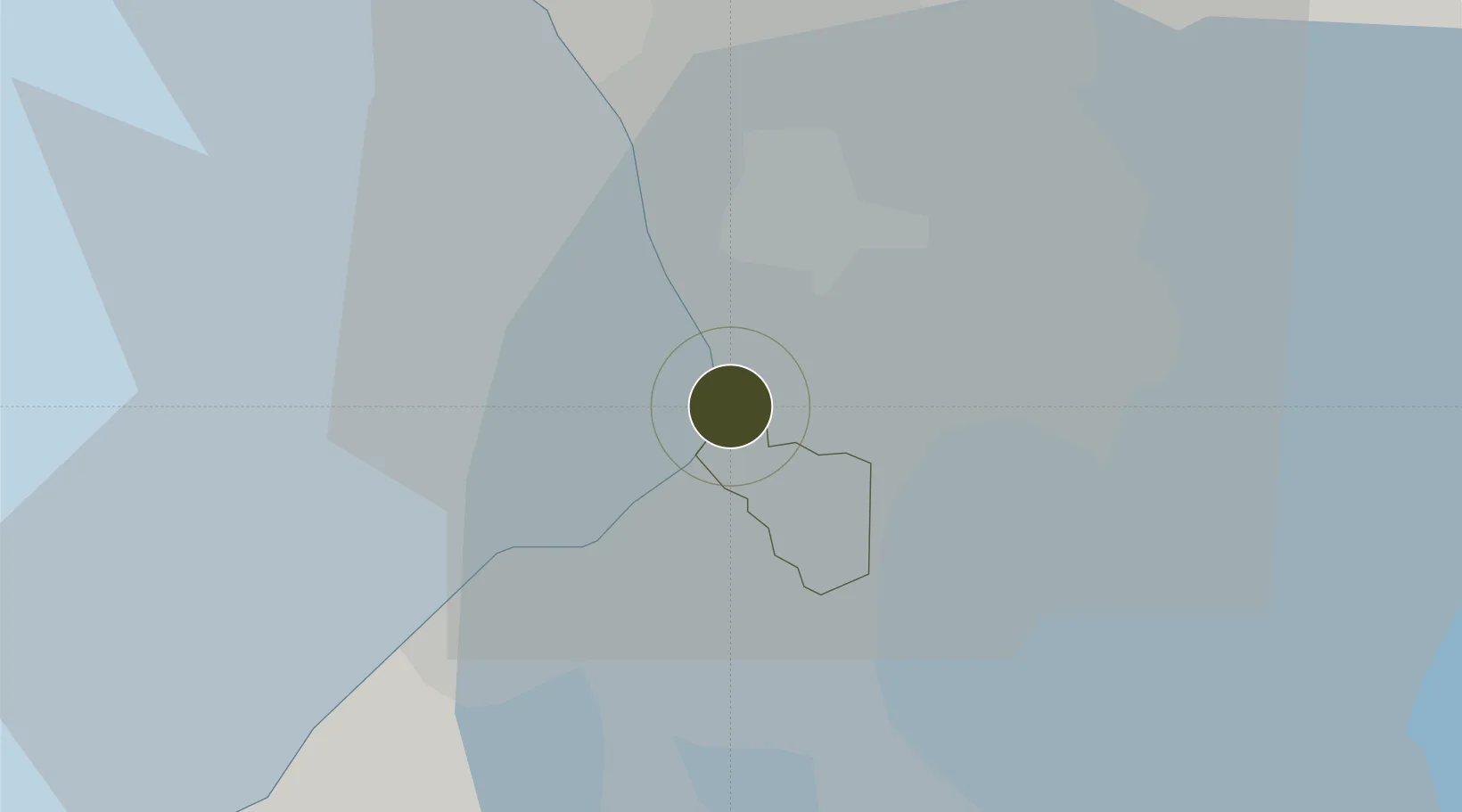
14.5292°, 120.9898°
4 ha
Zone area
6.5 km
Nearest port
4.0 km
Nearest airport

Gateway access

Nearest neighbours — logibook spatial index (haversine) over the source coordinates

Zone profile

Zone type
Specialized Zone
Open Zone Map
Specialization
IT
Open Zone Map
Region
Paranaque
Open Zone Map
Status
Under Development
Open Zone Map
Management
Public
Open Zone Map
Operator
AFP Retirement & Separation Benefits System
Open Zone Map
Legal framework
Special Economic Zone Act (Republic Act No. 7916) (as amended by Republic Act No. 8748)
Open Zone Map

Location

Location of ozm-3776
Natural Earth 10m (public domain) · Paranaque · ozm-3776 · 14.53, 120.99GoogleOSMYandex

Nearby Logistics Neighbours

Ports
  1. 1Manila7 km
  2. 2Mariveles56 km
  3. 3Nasugbu64 km
  4. 4Subic Bay83 km
  5. 5Batangas City87 km
Nearest neighbours — logibook spatial index (haversine) over the source coordinates
Airports
  1. 1Ninoy Aquino International Airport4 km
  2. 2Danilo Atienza Air Base10 km
  3. 3Subic Bay International Airport / Naval Air Station Cubi Point83 km
  4. 4Clark International Airport / Clark Air Base86 km
  5. 5Lubang Airport121 km
Nearest neighbours — logibook spatial index (haversine) over the source coordinates
Cities
  1. 1Bangkal1 km
  2. 2Parañaque2 km
  3. 3Makati City4 km
  4. 4Manila6 km
  5. 5Philippines6 km
Nearest neighbours — logibook spatial index (haversine) over the source coordinates
Trade Zones
  1. 1Aseana One0 km
  2. 2Reach0 km
  3. 3Aseana Two0 km
  4. 4Y Building0 km
  5. 5Eton Bay Square0 km
Nearest neighbours — logibook spatial index (haversine) over the source coordinates
DatabookThe Record of Consolidated Knowledge
Philippines beyond logistics?
Browse databook

All Sources

Trade ZonesOpen Zone Map
CC BY
Portsthe NGA World Port Index
Public domain (US gov)
AirportsOurAirports
Public domain
LocationsUN/LOCODE
UN/LOCODE — free
← Philippines trade zones