Specialized Zone · Philippines

SMBL IT Center Active
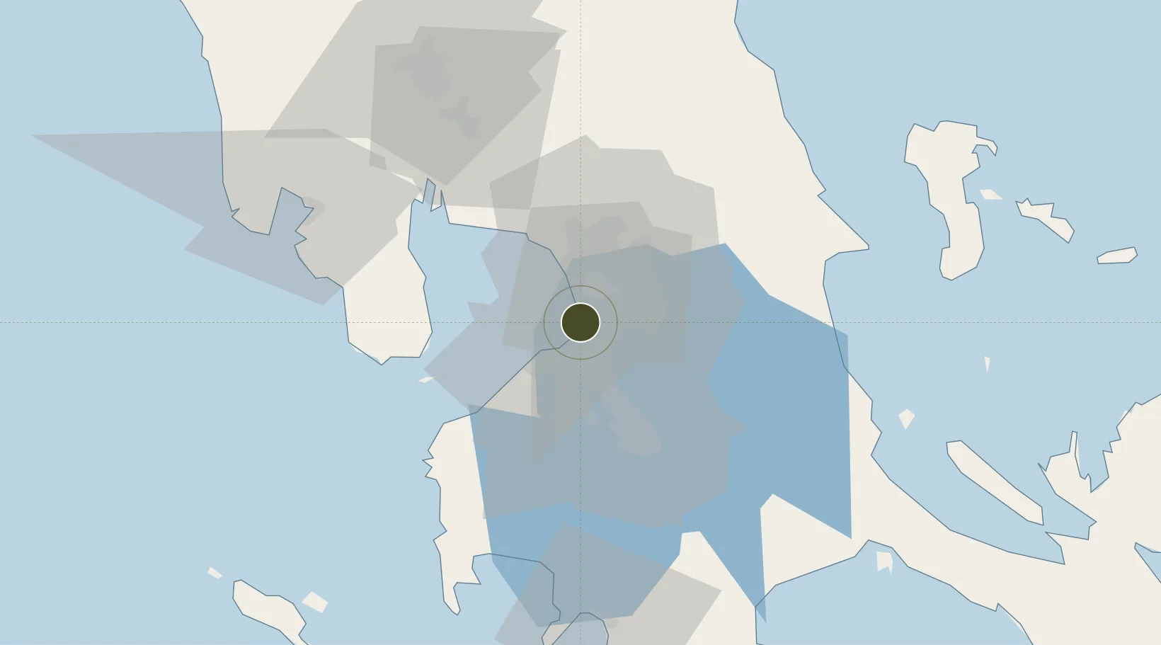
14.5309°, 120.9812°
3 ha
Zone area
6.0 km
Nearest port
4.9 km
Nearest airport

Gateway access

Nearest neighbours — logibook spatial index (haversine) over the source coordinates

Zone profile

Zone type
Specialized Zone
Open Zone Map
Specialization
IT
Open Zone Map
Region
Pasay
Open Zone Map
Status
Active
Open Zone Map
Management
Private
Open Zone Map
Operator
SM Prime Holdings, Inc.
Open Zone Map
Legal framework
Special Economic Zone Act (Republic Act No. 7916) (as amended by Republic Act No. 8748)
Open Zone Map

Location

Location of ozm-3768
Natural Earth 10m (public domain) · Pasay · ozm-3768 · 14.53, 120.98GoogleOSMYandex

Nearby Logistics Neighbours

Ports
  1. 1Manila6 km
  2. 2Mariveles55 km
  3. 3Nasugbu63 km
  4. 4Subic Bay83 km
  5. 5Batangas City87 km
Nearest neighbours — logibook spatial index (haversine) over the source coordinates
Airports
  1. 1Ninoy Aquino International Airport5 km
  2. 2Danilo Atienza Air Base9 km
  3. 3Subic Bay International Airport / Naval Air Station Cubi Point82 km
  4. 4Clark International Airport / Clark Air Base86 km
  5. 5Lubang Airport121 km
Nearest neighbours — logibook spatial index (haversine) over the source coordinates
Cities
  1. 1Parañaque2 km
  2. 2Bangkal2 km
  3. 3Makati City4 km
  4. 4Manila5 km
  5. 5Philippines6 km
Nearest neighbours — logibook spatial index (haversine) over the source coordinates
Trade Zones
  1. 1Mall of Asia Arena Annex Bldg. - IT Center0 km
  2. 2Alphaland Bay City1 km
  3. 3SM iCity 31 km
  4. 4Sole Mare Parksuites1 km
  5. 5SM iCity 21 km
Nearest neighbours — logibook spatial index (haversine) over the source coordinates
DatabookThe Record of Consolidated Knowledge
Philippines beyond logistics?
Browse databook

All Sources

Trade ZonesOpen Zone Map
CC BY
Portsthe NGA World Port Index
Public domain (US gov)
AirportsOurAirports
Public domain
LocationsUN/LOCODE
UN/LOCODE — free
← Philippines trade zones