Specialized Zone · Philippines

Liberty IT Park Under Development
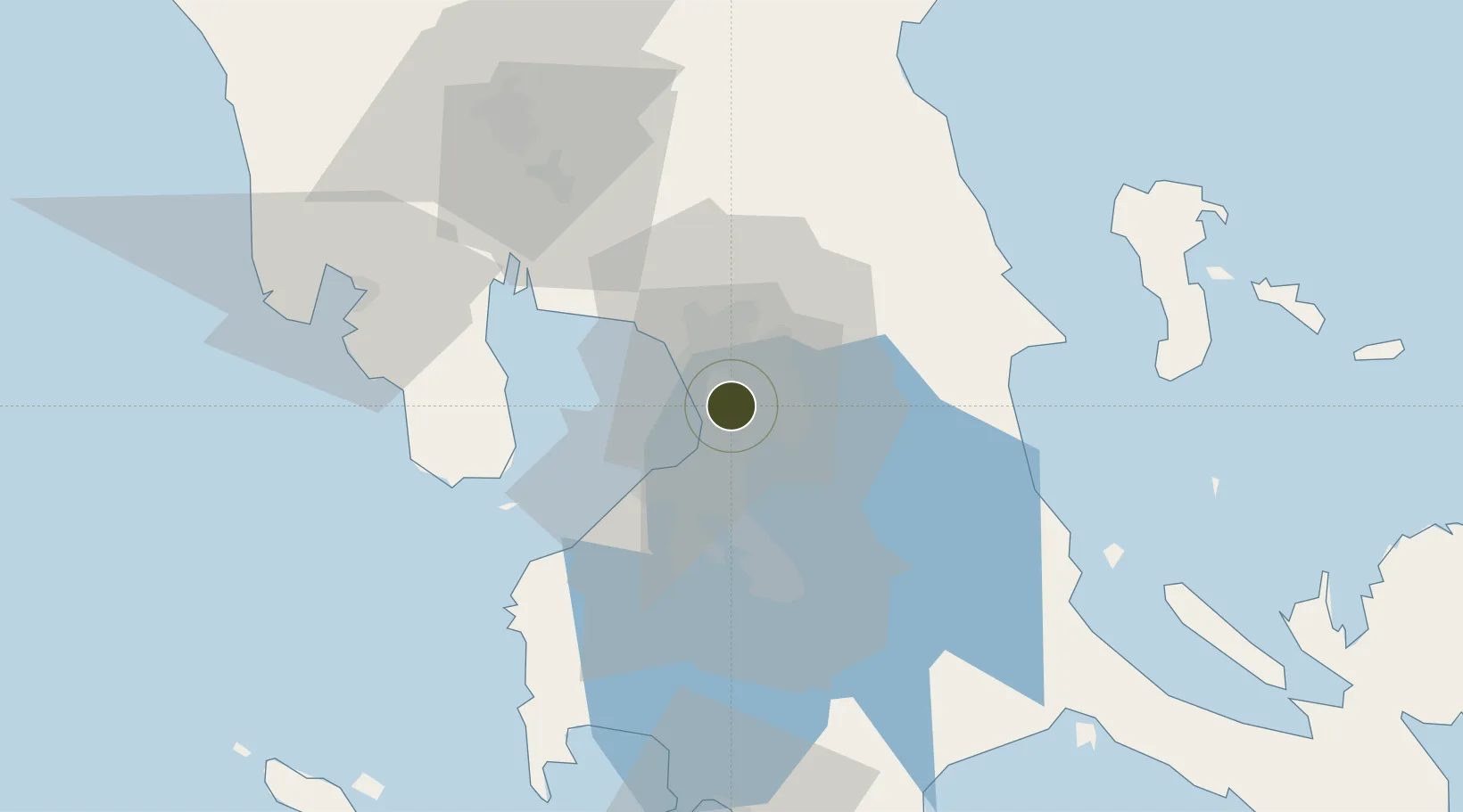
14.5890°, 121.0397°
3 ha
Zone area
7.9 km
Nearest port
9.2 km
Nearest airport

Gateway access

Nearest neighbours — logibook spatial index (haversine) over the source coordinates

Zone profile

Zone type
Specialized Zone
Open Zone Map
Specialization
IT
Open Zone Map
Region
San Juan
Open Zone Map
Status
Under Development
Open Zone Map
Management
Private
Open Zone Map
Operator
Litton & Co., Inc.
Open Zone Map
Legal framework
Special Economic Zone Act (Republic Act No. 7916) (as amended by Republic Act No. 8748)
Open Zone Map

Location

Location of ozm-3767
Natural Earth 10m (public domain) · San Juan · ozm-3767 · 14.59, 121.04GoogleOSMYandex

Nearby Logistics Neighbours

Ports
  1. 1Manila8 km
  2. 2Mariveles62 km
  3. 3Nasugbu72 km
  4. 4Subic Bay86 km
  5. 5Batangas City93 km
Nearest neighbours — logibook spatial index (haversine) over the source coordinates
Airports
  1. 1Ninoy Aquino International Airport9 km
  2. 2Danilo Atienza Air Base18 km
  3. 3Clark International Airport / Clark Air Base84 km
  4. 4Subic Bay International Airport / Naval Air Station Cubi Point86 km
  5. 5Lubang Airport130 km
Nearest neighbours — logibook spatial index (haversine) over the source coordinates
Cities
  1. 1Libis3 km
  2. 2Muntinlupa City3 km
  3. 3Philippines4 km
  4. 4Makati City5 km
  5. 5San Juan5 km
Nearest neighbours — logibook spatial index (haversine) over the source coordinates
Trade Zones
  1. 1Shaw Center Mall0 km
  2. 2JELP Business Solution Center0 km
  3. 3500 Shaw Zentrum0 km
  4. 4Summit One Office Tower1 km
  5. 5The Facilities Centre1 km
Nearest neighbours — logibook spatial index (haversine) over the source coordinates
DatabookThe Record of Consolidated Knowledge
Philippines beyond logistics?
Browse databook

All Sources

Trade ZonesOpen Zone Map
CC BY
Portsthe NGA World Port Index
Public domain (US gov)
AirportsOurAirports
Public domain
LocationsUN/LOCODE
UN/LOCODE — free
← Philippines trade zones