Specialized Zone · Philippines

BENA Agro-Industrial Park Under Development

14.0607°, 121.2176°
30 ha
Zone area
39.0 km
Nearest port
54.2 km
Nearest airport

Gateway access

Nearest neighbours — logibook spatial index (haversine) over the source coordinates

Zone profile

Zone type
Specialized Zone
Open Zone Map
Specialization
Agriculture
Open Zone Map
Region
Laguna
Open Zone Map
Status
Under Development
Open Zone Map
Management
Private
Open Zone Map
Operator
Israel Builders and Development Corporation
Open Zone Map
Legal framework
Special Economic Zone Act (Republic Act No. 7916) (as amended by Republic Act No. 8748)
Open Zone Map

Location

Location of ozm-3353
Natural Earth 10m (public domain) · Laguna · ozm-3353 · 14.06, 121.22GoogleOSMYandex

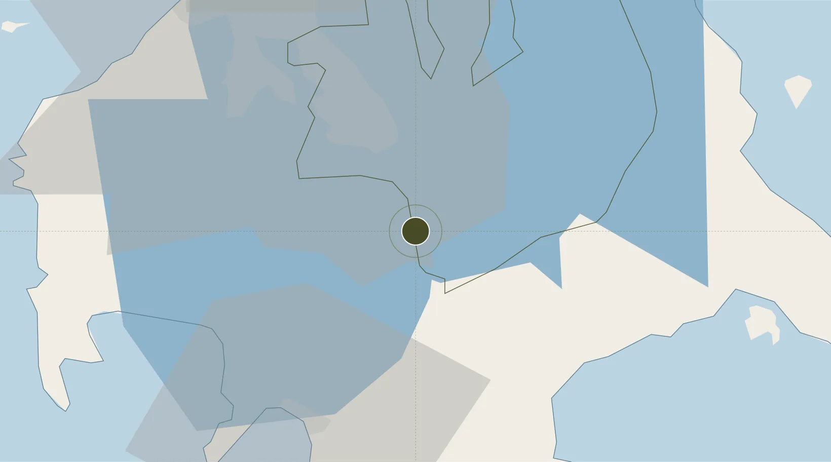
Nearby Logistics Neighbours

Ports
  1. 1Batangas City39 km
  2. 2Manila64 km
  3. 3Nasugbu65 km
  4. 4Calapan72 km
  5. 5Mariveles89 km
Nearest neighbours — logibook spatial index (haversine) over the source coordinates
Airports
  1. 1Ninoy Aquino International Airport54 km
  2. 2Danilo Atienza Air Base59 km
  3. 3Marinduque Airport102 km
  4. 4Mamburao Airport116 km
  5. 5Lubang Airport122 km
Nearest neighbours — logibook spatial index (haversine) over the source coordinates
Cities
  1. 1Tanauan7 km
  2. 2Camarines Norte/Jose Panganiban19 km
  3. 3Canlubang22 km
  4. 4Batangas/Luzon24 km
  5. 5Candelaria27 km
Nearest neighbours — logibook spatial index (haversine) over the source coordinates
Trade Zones
  1. 1LTI - Alaminos1 km
  2. 2Sto. Tomas Economic Zone4 km
  3. 3Guoco Industrial Estate5 km
  4. 4Lima Technology Center 7 km
  5. 58G Special Economic Zone8 km
Nearest neighbours — logibook spatial index (haversine) over the source coordinates
DatabookThe Record of Consolidated Knowledge
Philippines beyond logistics?
Browse databook

All Sources

Trade ZonesOpen Zone Map
CC BY
Portsthe NGA World Port Index
Public domain (US gov)
AirportsOurAirports
Public domain
LocationsUN/LOCODE
UN/LOCODE — free
← Philippines trade zones