Diversified Zone · Philippines

LTI - Alaminos Under Development
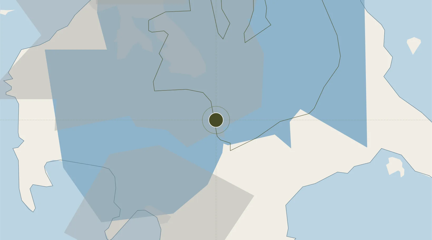
14.0555°, 121.2205°
254 ha
Zone area
38.6 km
Nearest port
54.8 km
Nearest airport

Gateway access

Nearest neighbours — logibook spatial index (haversine) over the source coordinates

Zone profile

Zone type
Diversified Zone
Open Zone Map
Region
Laguna
Open Zone Map
Status
Under Development
Open Zone Map
Management
Private
Open Zone Map
Operator
Laguna Technopark, Inc.
Open Zone Map
Legal framework
Special Economic Zone Act (Republic Act No. 7916) (as amended by Republic Act No. 8748)
Open Zone Map

Location

Location of ozm-3213
Natural Earth 10m (public domain) · Laguna · ozm-3213 · 14.06, 121.22GoogleOSMYandex

Nearby Logistics Neighbours

Ports
  1. 1Batangas City39 km
  2. 2Manila65 km
  3. 3Nasugbu65 km
  4. 4Calapan71 km
  5. 5Mariveles90 km
Nearest neighbours — logibook spatial index (haversine) over the source coordinates
Airports
  1. 1Ninoy Aquino International Airport55 km
  2. 2Danilo Atienza Air Base60 km
  3. 3Marinduque Airport101 km
  4. 4Mamburao Airport115 km
  5. 5Lubang Airport122 km
Nearest neighbours — logibook spatial index (haversine) over the source coordinates
Cities
  1. 1Tanauan8 km
  2. 2Camarines Norte/Jose Panganiban20 km
  3. 3Canlubang22 km
  4. 4Batangas/Luzon24 km
  5. 5Candelaria26 km
Nearest neighbours — logibook spatial index (haversine) over the source coordinates
Trade Zones
  1. 1BENA Agro-Industrial Park1 km
  2. 2Sto. Tomas Economic Zone5 km
  3. 3Guoco Industrial Estate5 km
  4. 4Lima Technology Center 7 km
  5. 58G Special Economic Zone8 km
Nearest neighbours — logibook spatial index (haversine) over the source coordinates
DatabookThe Record of Consolidated Knowledge
Philippines beyond logistics?
Browse databook

All Sources

Trade ZonesOpen Zone Map
CC BY
Portsthe NGA World Port Index
Public domain (US gov)
AirportsOurAirports
Public domain
LocationsUN/LOCODE
UN/LOCODE — free
← Philippines trade zones