Specialized Zone · Philippines

SM Makati Cyberzone Building Active
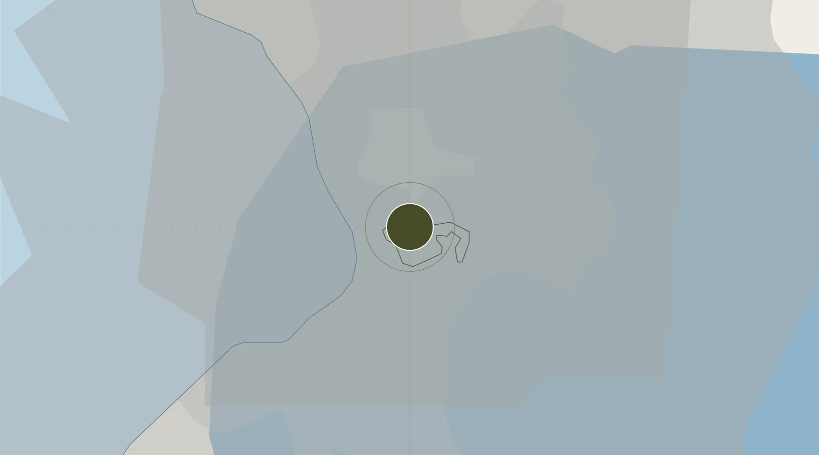
14.5609°, 121.0293°
1 ha
Zone area
7.2 km
Nearest port
5.9 km
Nearest airport

Gateway access

Nearest neighbours — logibook spatial index (haversine) over the source coordinates

Zone profile

Zone type
Specialized Zone
Open Zone Map
Specialization
IT
Open Zone Map
Region
Makati
Open Zone Map
Status
Active
Open Zone Map
Management
Private
Open Zone Map
Operator
SM Land, Inc.
Open Zone Map
Legal framework
Special Economic Zone Act (Republic Act No. 7916) (as amended by Republic Act No. 8748)
Open Zone Map

Location

Location of ozm-3616
Natural Earth 10m (public domain) · Makati · ozm-3616 · 14.56, 121.03GoogleOSMYandex

Nearby Logistics Neighbours

Ports
  1. 1Manila7 km
  2. 2Mariveles61 km
  3. 3Nasugbu69 km
  4. 4Subic Bay86 km
  5. 5Batangas City90 km
Nearest neighbours — logibook spatial index (haversine) over the source coordinates
Airports
  1. 1Ninoy Aquino International Airport6 km
  2. 2Danilo Atienza Air Base15 km
  3. 3Subic Bay International Airport / Naval Air Station Cubi Point86 km
  4. 4Clark International Airport / Clark Air Base86 km
  5. 5Lubang Airport127 km
Nearest neighbours — logibook spatial index (haversine) over the source coordinates
Cities
  1. 1Makati City2 km
  2. 2Philippines4 km
  3. 3Bangkal4 km
  4. 4Libis6 km
  5. 5Manila7 km
Nearest neighbours — logibook spatial index (haversine) over the source coordinates
Trade Zones
  1. 1Polaris Center0 km
  2. 2Pacific Star Building0 km
  3. 3Trafalgar Plaza0 km
  4. 4BPI Buendia Center0 km
  5. 5Zuellig Building0 km
Nearest neighbours — logibook spatial index (haversine) over the source coordinates
DatabookThe Record of Consolidated Knowledge
Philippines beyond logistics?
Browse databook

All Sources

Trade ZonesOpen Zone Map
CC BY
Portsthe NGA World Port Index
Public domain (US gov)
AirportsOurAirports
Public domain
LocationsUN/LOCODE
UN/LOCODE — free
← Philippines trade zones