Specialized Zone · Philippines

Offices at 100 West Under Development
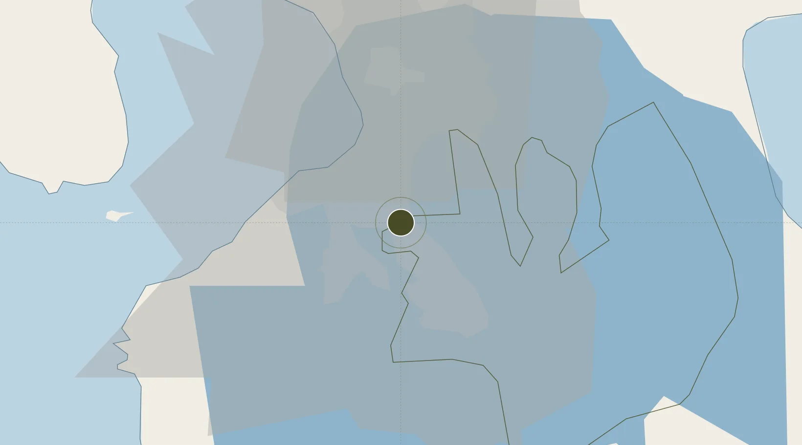
14.3737°, 121.0458°
0 ha
Zone area
24.8 km
Nearest port
15.3 km
Nearest airport

Gateway access

Nearest neighbours — logibook spatial index (haversine) over the source coordinates

Zone profile

Zone type
Specialized Zone
Open Zone Map
Specialization
IT
Open Zone Map
Region
Laguna
Open Zone Map
Status
Under Development
Open Zone Map
Management
Private
Open Zone Map
Operator
Filinvest Cyberparks, Inc.
Open Zone Map
Legal framework
Special Economic Zone Act (Republic Act No. 7916) (as amended by Republic Act No. 8748)
Open Zone Map

Location

Location of ozm-3577
Natural Earth 10m (public domain) · Laguna · ozm-3577 · 14.37, 121.05GoogleOSMYandex

Nearby Logistics Neighbours

Ports
  1. 1Manila25 km
  2. 2Nasugbu56 km
  3. 3Mariveles61 km
  4. 4Batangas City69 km
  5. 5Subic Bay96 km
Nearest neighbours — logibook spatial index (haversine) over the source coordinates
Airports
  1. 1Ninoy Aquino International Airport15 km
  2. 2Danilo Atienza Air Base20 km
  3. 3Subic Bay International Airport / Naval Air Station Cubi Point96 km
  4. 4Clark International Airport / Clark Air Base104 km
  5. 5Lubang Airport117 km
Nearest neighbours — logibook spatial index (haversine) over the source coordinates
Cities
  1. 1Biñan6 km
  2. 2Parañaque17 km
  3. 3Canlubang18 km
  4. 4Bangkal18 km
  5. 5Camarines Norte/Jose Panganiban20 km
Nearest neighbours — logibook spatial index (haversine) over the source coordinates
Trade Zones
  1. 1SMMT IT Center1 km
  2. 2Metro Market Center2 km
  3. 3SouthPark Corporate Center4 km
  4. 4Southwoods Mall5 km
  5. 5Parkway Corporate Center5 km
Nearest neighbours — logibook spatial index (haversine) over the source coordinates
DatabookThe Record of Consolidated Knowledge
Philippines beyond logistics?
Browse databook

All Sources

Trade ZonesOpen Zone Map
CC BY
Portsthe NGA World Port Index
Public domain (US gov)
AirportsOurAirports
Public domain
LocationsUN/LOCODE
UN/LOCODE — free
← Philippines trade zones