Specialized Zone · Philippines

Parkway Corporate Center Active
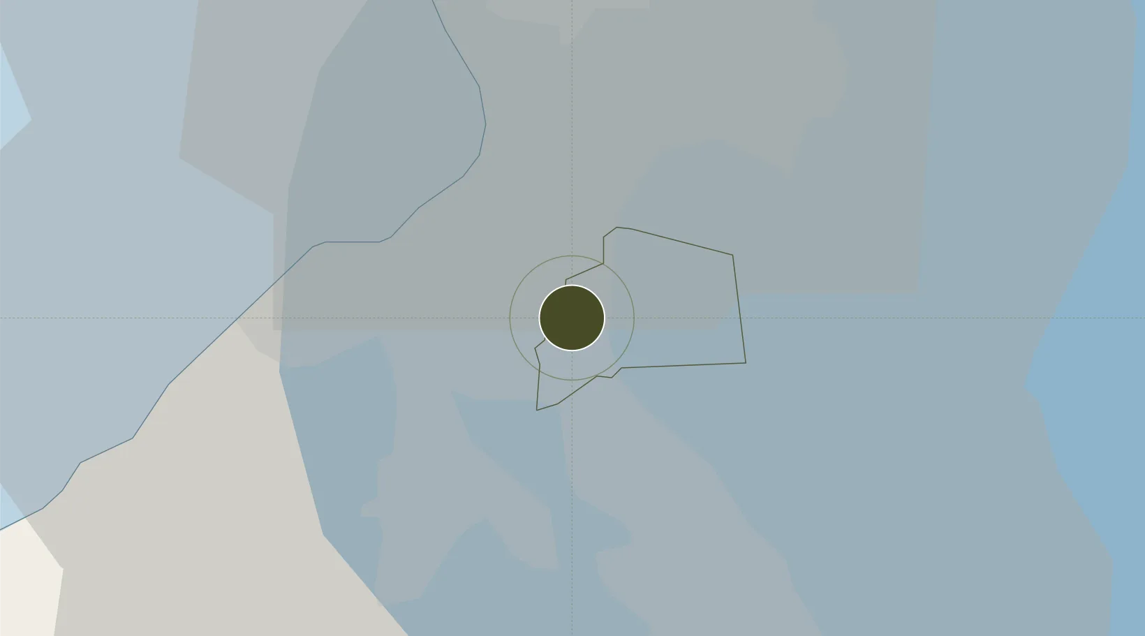
14.4155°, 121.0367°
0 ha
Zone area
20.1 km
Nearest port
10.5 km
Nearest airport

Gateway access

Nearest neighbours — logibook spatial index (haversine) over the source coordinates

Zone profile

Zone type
Specialized Zone
Open Zone Map
Specialization
IT
Open Zone Map
Region
Muntinlupa
Open Zone Map
Status
Active
Open Zone Map
Management
Private
Open Zone Map
Operator
Filinvest Alabang, Inc.
Open Zone Map
Legal framework
Special Economic Zone Act (Republic Act No. 7916) (as amended by Republic Act No. 8748)
Open Zone Map

Location

Location of ozm-3478
Natural Earth 10m (public domain) · Muntinlupa · ozm-3478 · 14.42, 121.04GoogleOSMYandex

Nearby Logistics Neighbours

Ports
  1. 1Manila20 km
  2. 2Nasugbu58 km
  3. 3Mariveles60 km
  4. 4Batangas City74 km
  5. 5Subic Bay93 km
Nearest neighbours — logibook spatial index (haversine) over the source coordinates
Airports
  1. 1Ninoy Aquino International Airport11 km
  2. 2Danilo Atienza Air Base17 km
  3. 3Subic Bay International Airport / Naval Air Station Cubi Point93 km
  4. 4Clark International Airport / Clark Air Base100 km
  5. 5Lubang Airport118 km
Nearest neighbours — logibook spatial index (haversine) over the source coordinates
Cities
  1. 1Biñan10 km
  2. 2Parañaque13 km
  3. 3Bangkal14 km
  4. 4Makati City16 km
  5. 5Santa Rosa19 km
Nearest neighbours — logibook spatial index (haversine) over the source coordinates
Trade Zones
  1. 1One Griffinstone0 km
  2. 2Insular Life Corporate Center0 km
  3. 3Asian Star Building1 km
  4. 4CTP ASEAN Tower1 km
  5. 5Frabelle South1 km
Nearest neighbours — logibook spatial index (haversine) over the source coordinates
DatabookThe Record of Consolidated Knowledge
Philippines beyond logistics?
Browse databook

All Sources

Trade ZonesOpen Zone Map
CC BY
Portsthe NGA World Port Index
Public domain (US gov)
AirportsOurAirports
Public domain
LocationsUN/LOCODE
UN/LOCODE — free
← Philippines trade zones