Specialized Zone · Philippines

Abiathar Commercial Complex Active
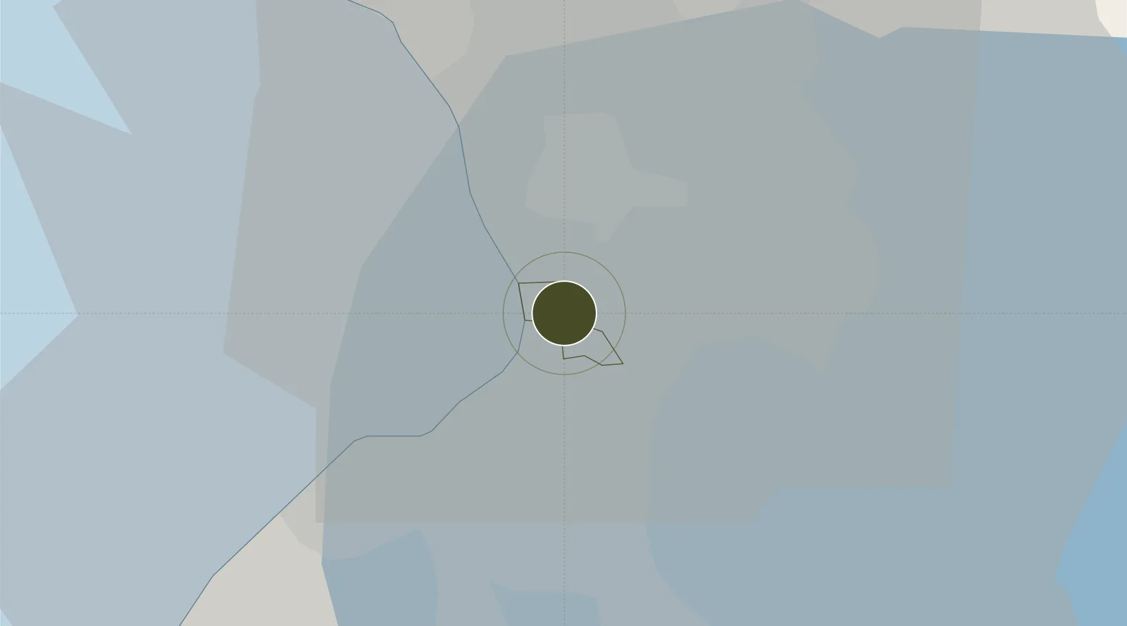
14.5383°, 121.0085°
0 ha
Zone area
6.7 km
Nearest port
3.5 km
Nearest airport

Gateway access

Nearest neighbours — logibook spatial index (haversine) over the source coordinates

Zone profile

Zone type
Specialized Zone
Open Zone Map
Specialization
IT
Open Zone Map
Region
Pasay
Open Zone Map
Status
Active
Open Zone Map
Management
Private
Open Zone Map
Operator
Abiathar Corporation
Open Zone Map
Legal framework
Special Economic Zone Act (Republic Act No. 7916) (as amended by Republic Act No. 8748)
Open Zone Map

Location

Location of ozm-3548
Natural Earth 10m (public domain) · Pasay · ozm-3548 · 14.54, 121.01GoogleOSMYandex

Nearby Logistics Neighbours

Ports
  1. 1Manila7 km
  2. 2Mariveles58 km
  3. 3Nasugbu66 km
  4. 4Subic Bay85 km
  5. 5Batangas City88 km
Nearest neighbours — logibook spatial index (haversine) over the source coordinates
Airports
  1. 1Ninoy Aquino International Airport4 km
  2. 2Danilo Atienza Air Base12 km
  3. 3Subic Bay International Airport / Naval Air Station Cubi Point84 km
  4. 4Clark International Airport / Clark Air Base87 km
  5. 5Lubang Airport124 km
Nearest neighbours — logibook spatial index (haversine) over the source coordinates
Cities
  1. 1Bangkal1 km
  2. 2Makati City2 km
  3. 3Parañaque4 km
  4. 4Philippines5 km
  5. 5Manila6 km
Nearest neighbours — logibook spatial index (haversine) over the source coordinates
Trade Zones
  1. 1MK2 Data Center1 km
  2. 22251 IT Hub1 km
  3. 3Green Sun (formerly Solid House)1 km
  4. 4Alphaland Southgate Towers1 km
  5. 5NUVO District1 km
Nearest neighbours — logibook spatial index (haversine) over the source coordinates
DatabookThe Record of Consolidated Knowledge
Philippines beyond logistics?
Browse databook

All Sources

Trade ZonesOpen Zone Map
CC BY
Portsthe NGA World Port Index
Public domain (US gov)
AirportsOurAirports
Public domain
LocationsUN/LOCODE
UN/LOCODE — free
← Philippines trade zones