Specialized Zone · Philippines
Sun Plaza Active
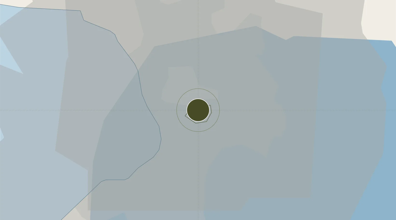
14.5853°, 121.0492°
0 ha
Zone area
8.9 km
Nearest port
9.1 km
Nearest airport
Gateway access
Zone profile
Zone type
Specialized Zone
Specialization
IT
Region
Mandaluyong City
Status
Active
Management
Private
Operator
Peaksun Enterprises and Export Corp.
Legal framework
Special Economic Zone Act (Republic Act No. 7916) (as amended by Republic Act No. 8748)
Location
Nearby Logistics Neighbours
Ports
- 1Manila9 km
- 2Mariveles63 km
- 3Nasugbu73 km
- 4Subic Bay88 km
- 5Batangas City93 km
Airports
Cities
- 1Libis3 km
- 2Muntinlupa City4 km
- 3Makati City5 km
- 4Philippines5 km
- 5San Juan6 km
Trade Zones
DatabookThe Record of Consolidated Knowledge
Philippines beyond logistics?