Diversified Zone · Philippines

Guoco Industrial Estate Under Development
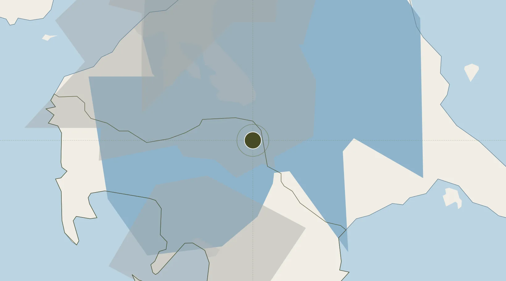
14.0824°, 121.1811°
32 ha
Zone area
39.6 km
Nearest port
50.5 km
Nearest airport

Gateway access

Nearest neighbours — logibook spatial index (haversine) over the source coordinates

Zone profile

Zone type
Diversified Zone
Open Zone Map
Region
Batangas
Open Zone Map
Status
Under Development
Open Zone Map
Management
Private
Open Zone Map
Operator
Guoco Property Devt. Inc.
Open Zone Map
Legal framework
Special Economic Zone Act (Republic Act No. 7916) (as amended by Republic Act No. 8748)
Open Zone Map

Location

Location of ozm-3128
Natural Earth 10m (public domain) · Batangas · ozm-3128 · 14.08, 121.18GoogleOSMYandex

Nearby Logistics Neighbours

Ports
  1. 1Batangas City40 km
  2. 2Manila60 km
  3. 3Nasugbu61 km
  4. 4Calapan74 km
  5. 5Mariveles85 km
Nearest neighbours — logibook spatial index (haversine) over the source coordinates
Airports
  1. 1Ninoy Aquino International Airport51 km
  2. 2Danilo Atienza Air Base55 km
  3. 3Marinduque Airport106 km
  4. 4Mamburao Airport115 km
  5. 5Lubang Airport119 km
Nearest neighbours — logibook spatial index (haversine) over the source coordinates
Cities
  1. 1Tanauan4 km
  2. 2Camarines Norte/Jose Panganiban16 km
  3. 3Canlubang17 km
  4. 4Batangas/Luzon24 km
  5. 5Biñan30 km
Nearest neighbours — logibook spatial index (haversine) over the source coordinates
Trade Zones
  1. 1Sto. Tomas Economic Zone1 km
  2. 2BENA Agro-Industrial Park5 km
  3. 3Saint Frances Cabrini Medical Tourism Park5 km
  4. 4LTI - Alaminos5 km
  5. 5Batangas I.T. Park5 km
Nearest neighbours — logibook spatial index (haversine) over the source coordinates
DatabookThe Record of Consolidated Knowledge
Philippines beyond logistics?
Browse databook

All Sources

Trade ZonesOpen Zone Map
CC BY
Portsthe NGA World Port Index
Public domain (US gov)
AirportsOurAirports
Public domain
LocationsUN/LOCODE
UN/LOCODE — free
← Philippines trade zones