Diversified Zone · Philippines

Mactan Economic Zone II Active
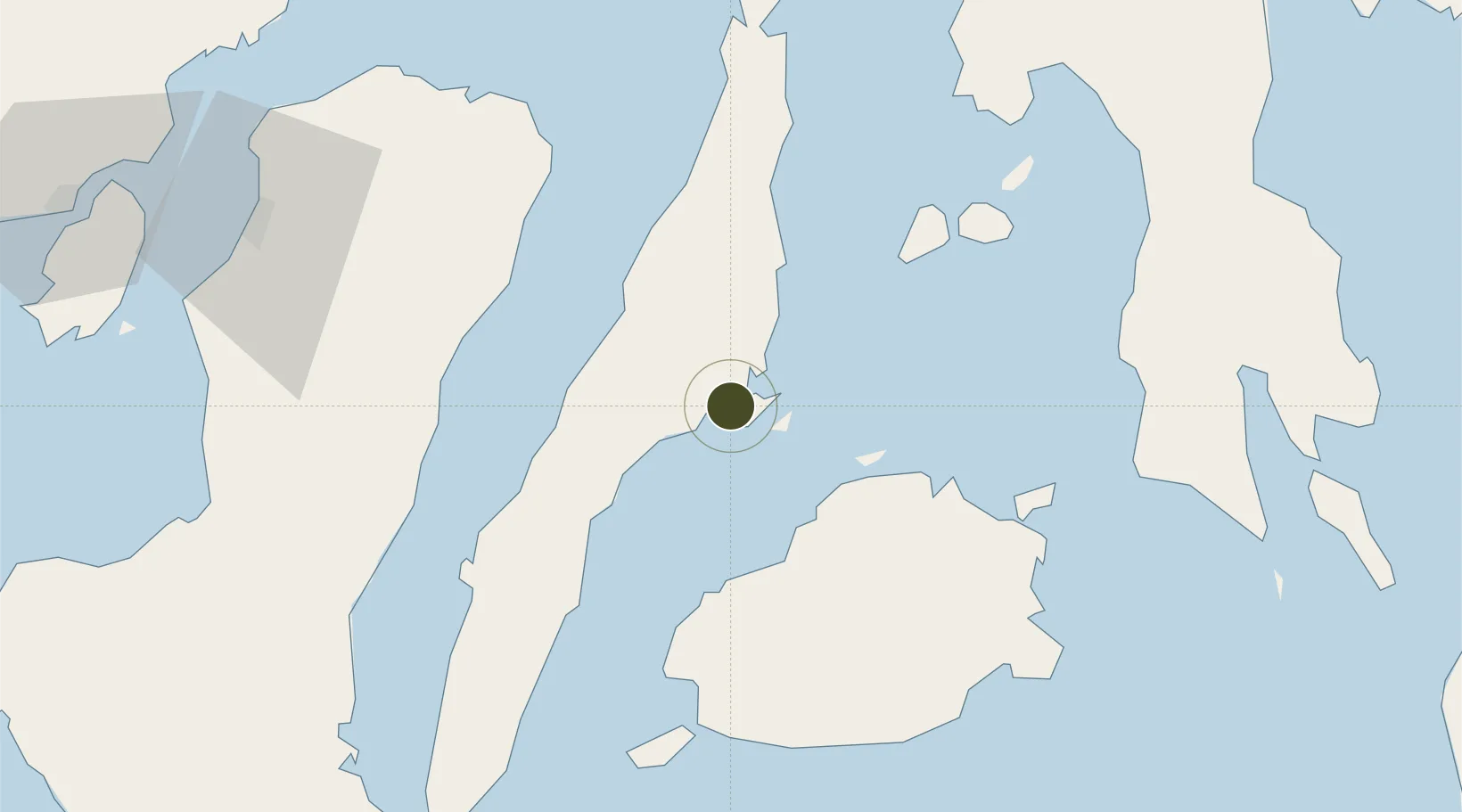
10.2974°, 123.9405°
63 ha
Zone area
4.4 km
Nearest port
4.5 km
Nearest airport

Gateway access

Nearest neighbours — logibook spatial index (haversine) over the source coordinates

Zone profile

Zone type
Diversified Zone
Open Zone Map
Region
Lapu-Lapu
Open Zone Map
Status
Active
Open Zone Map
Management
Public-Private Partnership
Open Zone Map
Operator
Aboitiz Land, Inc. & Mactan Cebu International Airport Authority (MCIAA)
Open Zone Map
Legal framework
Special Economic Zone Act (Republic Act No. 7916) (as amended by Republic Act No. 8748)
Open Zone Map

Location

Location of ozm-3155
Natural Earth 10m (public domain) · Lapu-Lapu · ozm-3155 · 10.30, 123.94GoogleOSMYandex

Nearby Logistics Neighbours

Ports
  1. 1Cebu4 km
  2. 2Toledo35 km
  3. 3Tubigan39 km
  4. 4San Carlos61 km
  5. 5Tagbilaran73 km
Nearest neighbours — logibook spatial index (haversine) over the source coordinates
Airports
  1. 1Mactan Cebu International Airport5 km
  2. 2Bohol-Panglao International Airport83 km
  3. 3Ormoc Airport109 km
  4. 4Bacolod-Silay International Airport114 km
  5. 5Sibulan Airport128 km
Nearest neighbours — logibook spatial index (haversine) over the source coordinates
Cities
  1. 1Lapu-Lapu, Cebu2 km
  2. 2Mandaue, Cebu3 km
  3. 3Cebu3 km
  4. 4Laguna6 km
  5. 5Mactan Island Apt7 km
Nearest neighbours — logibook spatial index (haversine) over the source coordinates
Trade Zones
  1. 1Phil. BXT Corp. Tourism Economic Zone2 km
  2. 2Cebu Light Industrial Park2 km
  3. 3Mandani Bay Quay Tower 42 km
  4. 4Qimonda I.T. Center3 km
  5. 5GGVPI IT Zone3 km
Nearest neighbours — logibook spatial index (haversine) over the source coordinates
DatabookThe Record of Consolidated Knowledge
Philippines beyond logistics?
Browse databook

All Sources

Trade ZonesOpen Zone Map
CC BY
Portsthe NGA World Port Index
Public domain (US gov)
AirportsOurAirports
Public domain
LocationsUN/LOCODE
UN/LOCODE — free
← Philippines trade zones