Free Trade Zone · Philippines

SM Seaside City Cebu Active
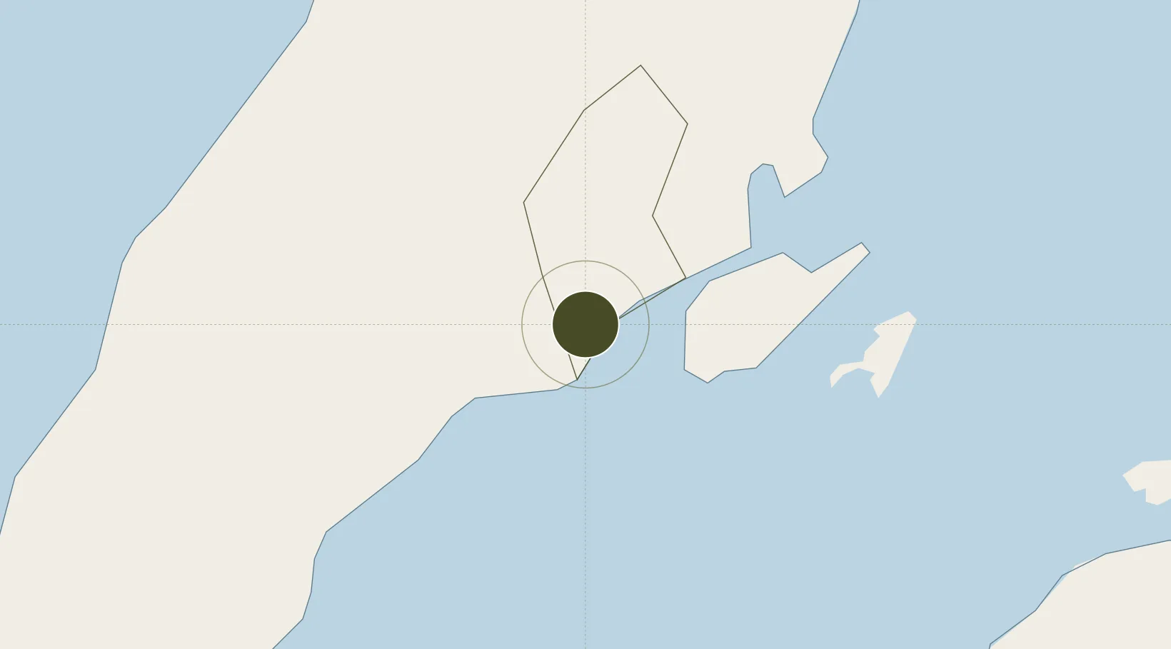
10.2810°, 123.8740°
30 ha
Zone area
3.5 km
Nearest port
12.0 km
Nearest airport

Gateway access

Nearest neighbours — logibook spatial index (haversine) over the source coordinates

Zone profile

Zone type
Free Trade Zone
Open Zone Map
Region
Cebu
Open Zone Map
Status
Active
Open Zone Map
Management
Private
Open Zone Map
Operator
SM Prime Holdings, Inc
Open Zone Map
Legal framework
Special Economic Zone Act (Republic Act No. 7916) (as amended by Republic Act No. 8748)
Open Zone Map

Location

Location of ozm-3316
Natural Earth 10m (public domain) · Cebu · ozm-3316 · 10.28, 123.87GoogleOSMYandex

Nearby Logistics Neighbours

Ports
  1. 1Cebu4 km
  2. 2Toledo28 km
  3. 3Tubigan38 km
  4. 4San Carlos55 km
  5. 5Tagbilaran70 km
Nearest neighbours — logibook spatial index (haversine) over the source coordinates
Airports
  1. 1Mactan Cebu International Airport12 km
  2. 2Bohol-Panglao International Airport80 km
  3. 3Bacolod-Silay International Airport109 km
  4. 4Ormoc Airport115 km
  5. 5Sibulan Airport123 km
Nearest neighbours — logibook spatial index (haversine) over the source coordinates
Cities
  1. 1Laguna2 km
  2. 2Cebu5 km
  3. 3Mandaue, Cebu8 km
  4. 4Lapu-Lapu, Cebu9 km
  5. 5Mactan Island Apt14 km
Nearest neighbours — logibook spatial index (haversine) over the source coordinates
Trade Zones
  1. 1Cebu South Road Properties1 km
  2. 2Gaisano Capital Info Center3 km
  3. 3Super Metro IT Center3 km
  4. 4Arcenas Estate IT Building3 km
  5. 5JESA Building3 km
Nearest neighbours — logibook spatial index (haversine) over the source coordinates
DatabookThe Record of Consolidated Knowledge
Philippines beyond logistics?
Browse databook

All Sources

Trade ZonesOpen Zone Map
CC BY
Portsthe NGA World Port Index
Public domain (US gov)
AirportsOurAirports
Public domain
LocationsUN/LOCODE
UN/LOCODE — free
← Philippines trade zones