Free Trade Zone · Philippines
JESA Building Active
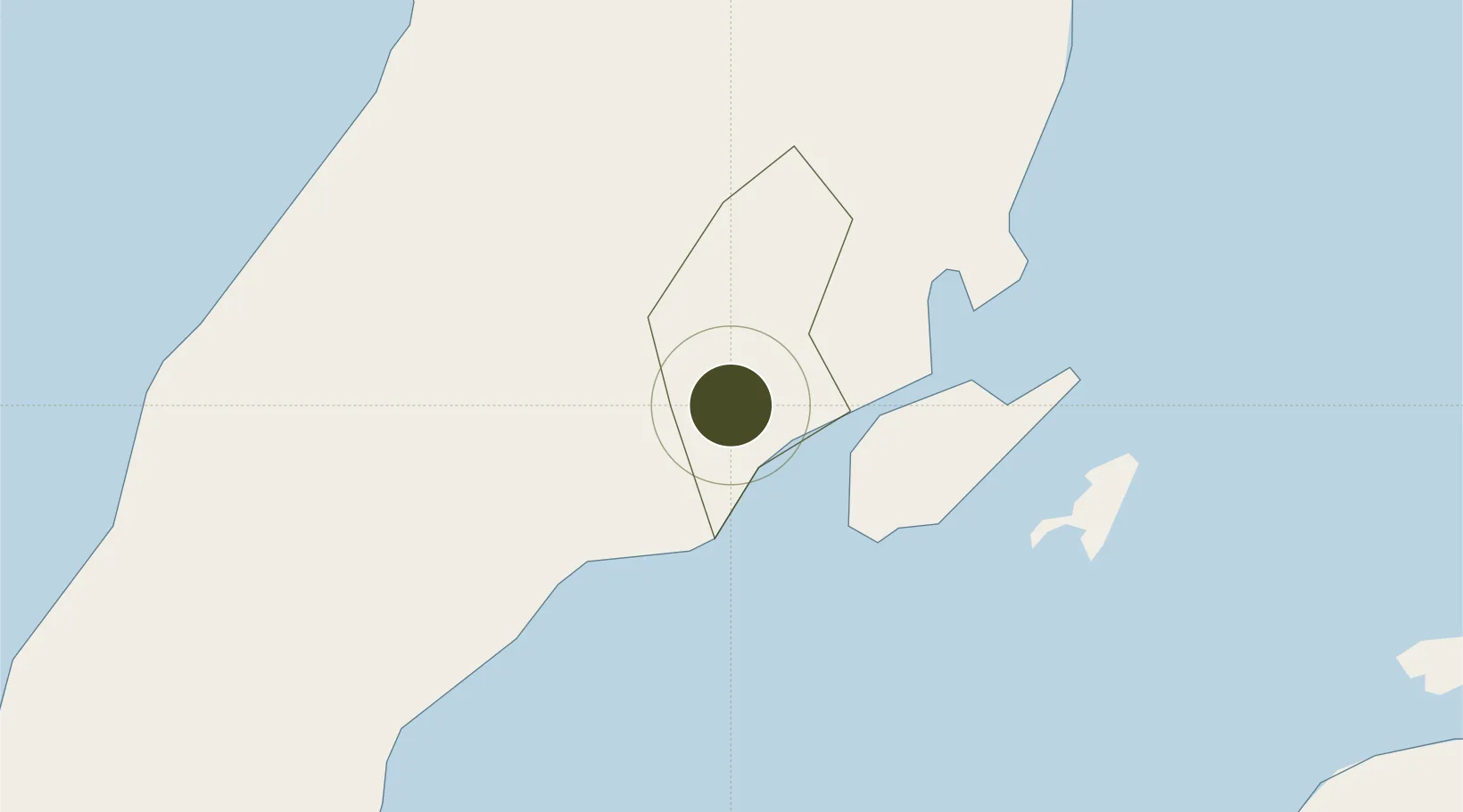
10.3118°, 123.8767°
0 ha
Zone area
2.9 km
Nearest port
11.3 km
Nearest airport
Gateway access
Zone profile
Zone type
Free Trade Zone
Region
Cebu
Status
Active
Management
Private
Operator
JESA Management Corporation
Legal framework
Special Economic Zone Act (Republic Act No. 7916) (as amended by Republic Act No. 8748)
Location
Nearby Logistics Neighbours
Ports
- 1Cebu3 km
- 2Toledo27 km
- 3Tubigan41 km
- 4San Carlos54 km
- 5Tagbilaran74 km
Airports
- 1Mactan Cebu International Airport11 km
- 2Bohol-Panglao International Airport83 km
- 3Bacolod-Silay International Airport107 km
- 4Ormoc Airport112 km
- 5Sibulan Airport126 km
Cities
- 1Laguna2 km
- 2Cebu4 km
- 3Mandaue, Cebu7 km
- 4Lapu-Lapu, Cebu8 km
- 5Mactan Island Apt14 km
Trade Zones
- 1Nozomi Economic Zone1 km
- 2Robinsons Cybergate Cebu1 km
- 3DG3 I. T. Center2 km
- 4GT Times Square Cebu2 km
- 5Mango Square2 km
DatabookThe Record of Consolidated Knowledge
Philippines beyond logistics?