Free Trade Zone · Philippines

Ore Central Building Active
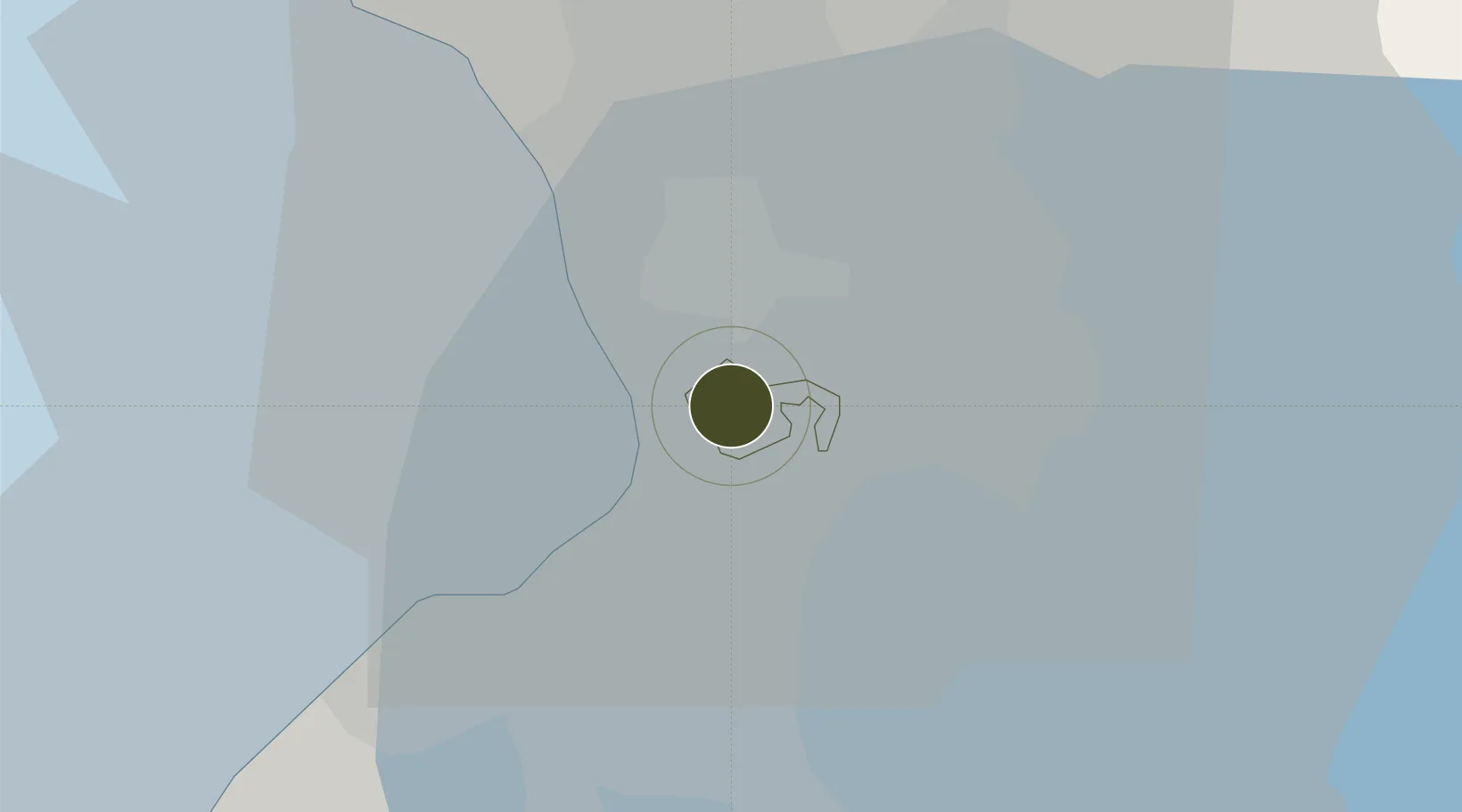
14.5525°, 121.0281°
0 ha
Zone area
7.4 km
Nearest port
5.0 km
Nearest airport

Gateway access

Nearest neighbours — logibook spatial index (haversine) over the source coordinates

Zone profile

Zone type
Free Trade Zone
Open Zone Map
Region
Makati
Open Zone Map
Status
Active
Open Zone Map
Management
Private
Open Zone Map
Operator
Monte De Tesoro Corporation
Open Zone Map
Legal framework
Special Economic Zone Act (Republic Act No. 7916) (as amended by Republic Act No. 8748)
Open Zone Map

Location

Location of ozm-3278
Natural Earth 10m (public domain) · Makati · ozm-3278 · 14.55, 121.03GoogleOSMYandex

Nearby Logistics Neighbours

Ports
  1. 1Manila7 km
  2. 2Mariveles60 km
  3. 3Nasugbu69 km
  4. 4Subic Bay86 km
  5. 5Batangas City89 km
Nearest neighbours — logibook spatial index (haversine) over the source coordinates
Airports
  1. 1Ninoy Aquino International Airport5 km
  2. 2Danilo Atienza Air Base15 km
  3. 3Subic Bay International Airport / Naval Air Station Cubi Point86 km
  4. 4Clark International Airport / Clark Air Base87 km
  5. 5Lubang Airport126 km
Nearest neighbours — logibook spatial index (haversine) over the source coordinates
Cities
  1. 1Makati City2 km
  2. 2Bangkal4 km
  3. 3Philippines5 km
  4. 4Parañaque6 km
  5. 5Manila7 km
Nearest neighbours — logibook spatial index (haversine) over the source coordinates
Trade Zones
  1. 1One Ayala Avenue0 km
  2. 2Glorietta 50 km
  3. 3Glorietta 1 BPO0 km
  4. 4McKinley Exchange Corporate Center0 km
  5. 5McKinley Hill Cyber Park0 km
Nearest neighbours — logibook spatial index (haversine) over the source coordinates
DatabookThe Record of Consolidated Knowledge
Philippines beyond logistics?
Browse databook

All Sources

Trade ZonesOpen Zone Map
CC BY
Portsthe NGA World Port Index
Public domain (US gov)
AirportsOurAirports
Public domain
LocationsUN/LOCODE
UN/LOCODE — free
← Philippines trade zones