Diversified Zone · Philippines

Cambridge Intelligent Park Under Development
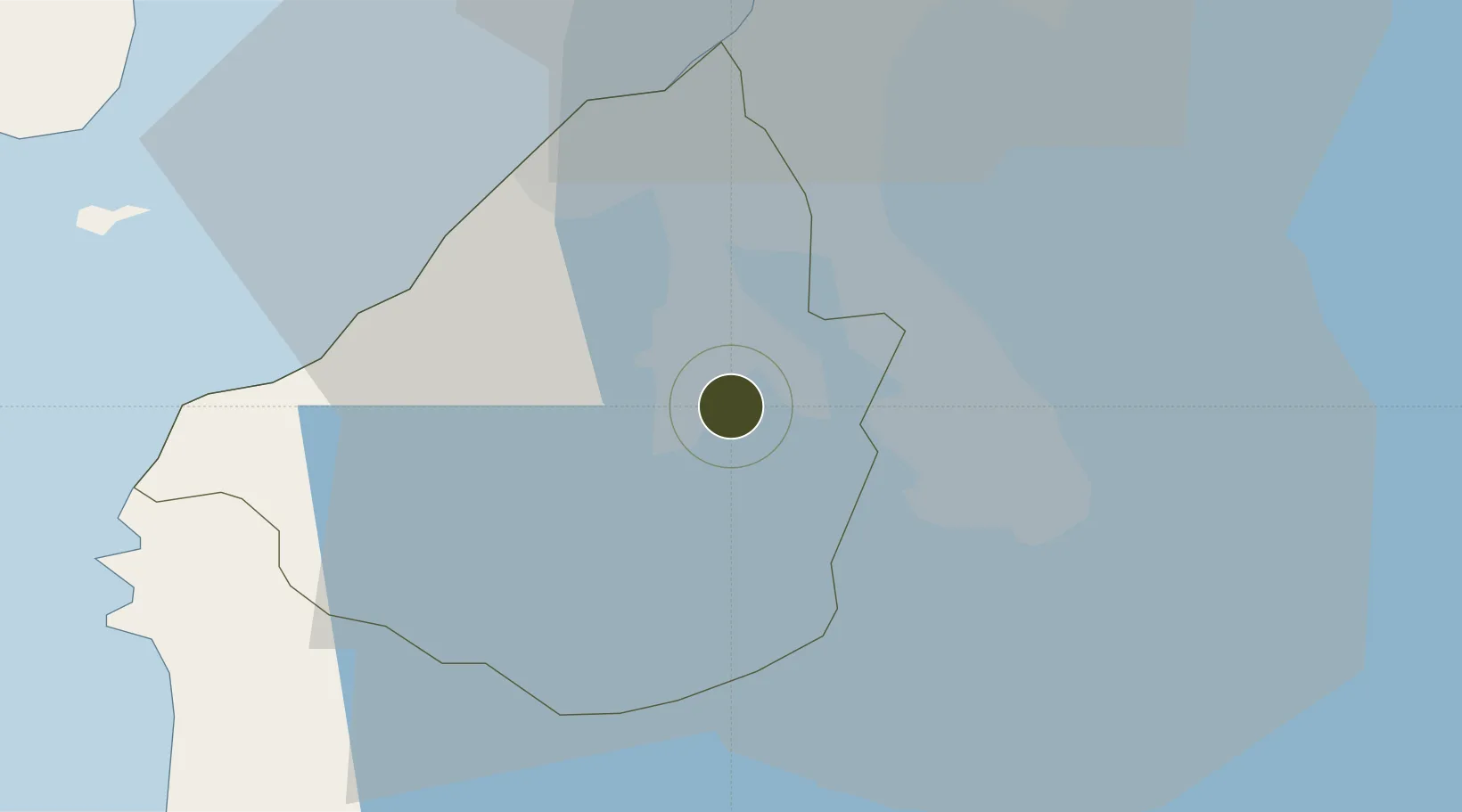
14.2692°, 120.9671°
86 ha
Zone area
34.9 km
Nearest port
26.1 km
Nearest airport

Gateway access

Nearest neighbours — logibook spatial index (haversine) over the source coordinates

Zone profile

Zone type
Diversified Zone
Open Zone Map
Region
Cavite
Open Zone Map
Status
Under Development
Open Zone Map
Management
Private
Open Zone Map
Operator
McSpec Realty Ventures Corp.
Open Zone Map
Legal framework
Special Economic Zone Act (Republic Act No. 7916) (as amended by Republic Act No. 8748)
Open Zone Map

Location

Location of ozm-3171
Natural Earth 10m (public domain) · Cavite · ozm-3171 · 14.27, 120.97GoogleOSMYandex

Nearby Logistics Neighbours

Ports
  1. 1Manila35 km
  2. 2Nasugbu43 km
  3. 3Mariveles55 km
  4. 4Batangas City58 km
  5. 5Subic Bay96 km
Nearest neighbours — logibook spatial index (haversine) over the source coordinates
Airports
  1. 1Danilo Atienza Air Base26 km
  2. 2Ninoy Aquino International Airport27 km
  3. 3Subic Bay International Airport / Naval Air Station Cubi Point95 km
  4. 4Lubang Airport104 km
  5. 5Clark International Airport / Clark Air Base111 km
Nearest neighbours — logibook spatial index (haversine) over the source coordinates
Cities
  1. 1Biñan14 km
  2. 2Canlubang16 km
  3. 3Cavite, Luzon19 km
  4. 4Camarines Norte/Jose Panganiban20 km
  5. 5Parañaque28 km
Nearest neighbours — logibook spatial index (haversine) over the source coordinates
Trade Zones
  1. 1Equity Industrial Estate2 km
  2. 2Daiichi Industrial Park3 km
  3. 3First Cavite Industrial Estate4 km
  4. 4SM City Dasmariñas IT Center4 km
  5. 5Robinsons Place Dasmariñas4 km
Nearest neighbours — logibook spatial index (haversine) over the source coordinates
DatabookThe Record of Consolidated Knowledge
Philippines beyond logistics?
Browse databook

All Sources

Trade ZonesOpen Zone Map
CC BY
Portsthe NGA World Port Index
Public domain (US gov)
AirportsOurAirports
Public domain
LocationsUN/LOCODE
UN/LOCODE — free
← Philippines trade zones