Diversified Zone · Philippines

Taipan Gold Industrial Park Active
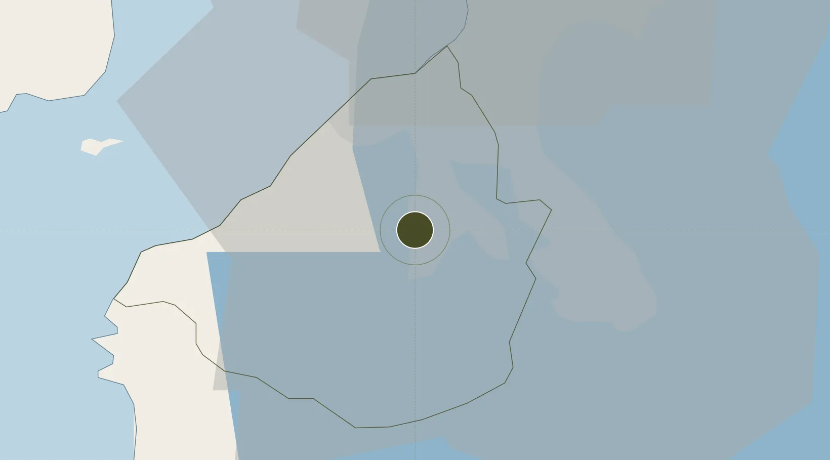
14.2940°, 120.9260°
100 ha
Zone area
32.5 km
Nearest port
22.5 km
Nearest airport

Gateway access

Nearest neighbours — logibook spatial index (haversine) over the source coordinates

Zone profile

Zone type
Diversified Zone
Open Zone Map
Region
Cavite
Open Zone Map
Status
Active
Open Zone Map
Management
Private
Open Zone Map
Operator
Taipan Gold Empire Corporation
Open Zone Map
Legal framework
Special Economic Zone Act (Republic Act No. 7916) (as amended by Republic Act No. 8748)
Open Zone Map

Location

Location of ozm-3177
Natural Earth 10m (public domain) · Cavite · ozm-3177 · 14.29, 120.93GoogleOSMYandex

Nearby Logistics Neighbours

Ports
  1. 1Manila33 km
  2. 2Nasugbu41 km
  3. 3Mariveles50 km
  4. 4Batangas City62 km
  5. 5Subic Bay91 km
Nearest neighbours — logibook spatial index (haversine) over the source coordinates
Airports
  1. 1Danilo Atienza Air Base23 km
  2. 2Ninoy Aquino International Airport26 km
  3. 3Subic Bay International Airport / Naval Air Station Cubi Point90 km
  4. 4Lubang Airport101 km
  5. 5Clark International Airport / Clark Air Base107 km
Nearest neighbours — logibook spatial index (haversine) over the source coordinates
Cities
  1. 1Cavite, Luzon14 km
  2. 2Biñan18 km
  3. 3Canlubang21 km
  4. 4Camarines Norte/Jose Panganiban25 km
  5. 5Parañaque26 km
Nearest neighbours — logibook spatial index (haversine) over the source coordinates
Trade Zones
  1. 1NDC Industrial Estate1 km
  2. 2First Cavite Industrial Estate2 km
  3. 3Robinsons Place Dasmariñas3 km
  4. 4Supima Manggahan IT Park3 km
  5. 5SM City Dasmariñas IT Center3 km
Nearest neighbours — logibook spatial index (haversine) over the source coordinates
DatabookThe Record of Consolidated Knowledge
Philippines beyond logistics?
Browse databook

All Sources

Trade ZonesOpen Zone Map
CC BY
Portsthe NGA World Port Index
Public domain (US gov)
AirportsOurAirports
Public domain
LocationsUN/LOCODE
UN/LOCODE — free
← Philippines trade zones