Diversified Zone · Philippines

NDC Industrial Estate Under Development
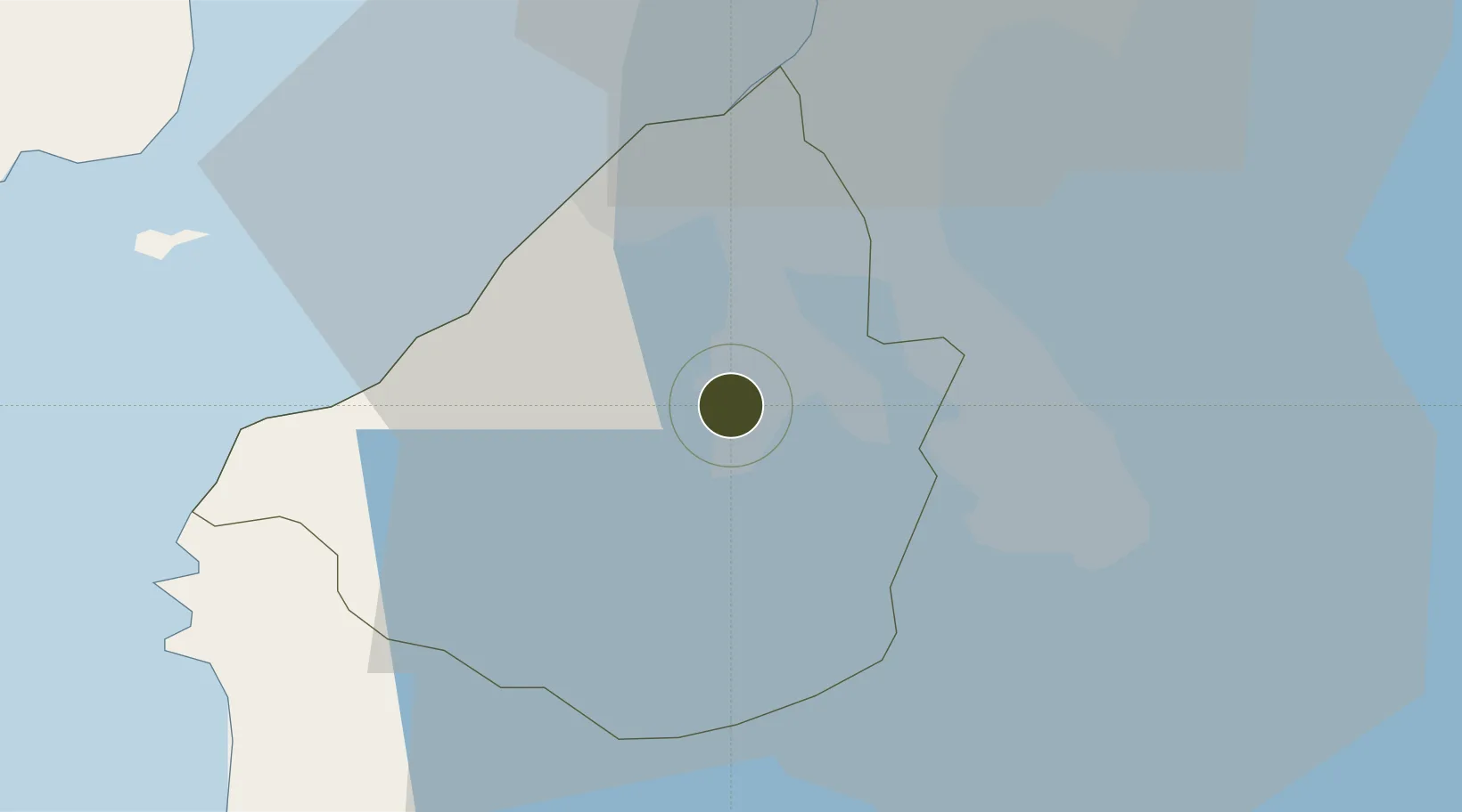
14.2848°, 120.9305°
19 ha
Zone area
33.4 km
Nearest port
23.6 km
Nearest airport

Gateway access

Nearest neighbours — logibook spatial index (haversine) over the source coordinates

Zone profile

Zone type
Diversified Zone
Open Zone Map
Region
Cavite
Open Zone Map
Status
Under Development
Open Zone Map
Management
Public
Open Zone Map
Operator
National Development Company
Open Zone Map
Legal framework
Special Economic Zone Act (Republic Act No. 7916) (as amended by Republic Act No. 8748)
Open Zone Map

Location

Location of ozm-3108
Natural Earth 10m (public domain) · Cavite · ozm-3108 · 14.28, 120.93GoogleOSMYandex

Nearby Logistics Neighbours

Ports
  1. 1Manila33 km
  2. 2Nasugbu41 km
  3. 3Mariveles51 km
  4. 4Batangas City61 km
  5. 5Subic Bay92 km
Nearest neighbours — logibook spatial index (haversine) over the source coordinates
Airports
  1. 1Danilo Atienza Air Base24 km
  2. 2Ninoy Aquino International Airport27 km
  3. 3Subic Bay International Airport / Naval Air Station Cubi Point91 km
  4. 4Lubang Airport101 km
  5. 5Clark International Airport / Clark Air Base108 km
Nearest neighbours — logibook spatial index (haversine) over the source coordinates
Cities
  1. 1Cavite, Luzon15 km
  2. 2Biñan17 km
  3. 3Canlubang20 km
  4. 4Camarines Norte/Jose Panganiban25 km
  5. 5Parañaque26 km
Nearest neighbours — logibook spatial index (haversine) over the source coordinates
Trade Zones
  1. 1First Cavite Industrial Estate1 km
  2. 2Taipan Gold Industrial Park1 km
  3. 3Equity Industrial Estate3 km
  4. 4Gateway Business Park 3 km
  5. 5Robinsons Place Dasmariñas3 km
Nearest neighbours — logibook spatial index (haversine) over the source coordinates
DatabookThe Record of Consolidated Knowledge
Philippines beyond logistics?
Browse databook

All Sources

Trade ZonesOpen Zone Map
CC BY
Portsthe NGA World Port Index
Public domain (US gov)
AirportsOurAirports
Public domain
LocationsUN/LOCODE
UN/LOCODE — free
← Philippines trade zones