Specialized Zone · Philippines

Mandani Bay Quay Tower 4 Under Development
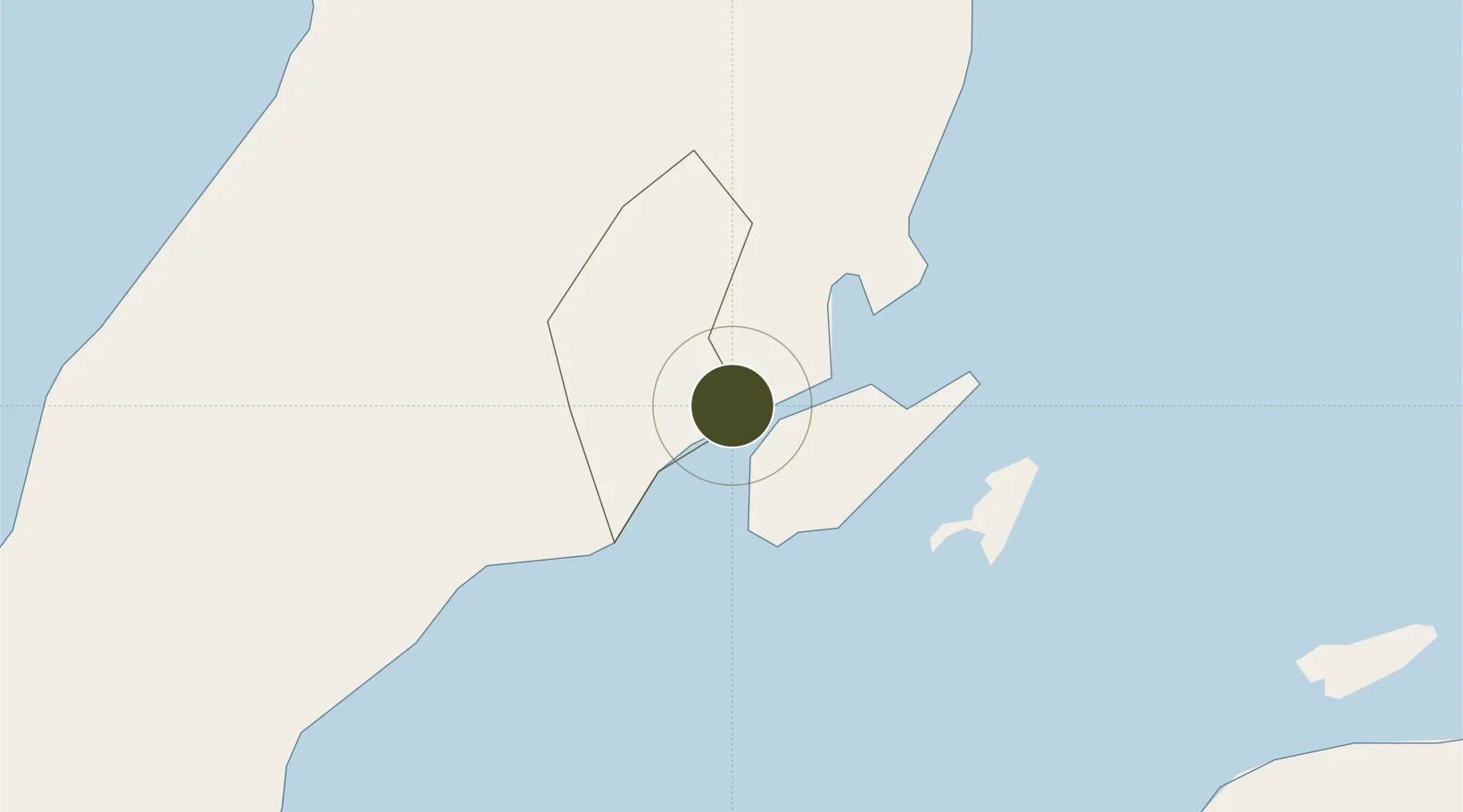
10.3136°, 123.9254°
1 ha
Zone area
3.2 km
Nearest port
6.0 km
Nearest airport

Gateway access

Nearest neighbours — logibook spatial index (haversine) over the source coordinates

Zone profile

Zone type
Specialized Zone
Open Zone Map
Specialization
IT
Open Zone Map
Region
Cebu
Open Zone Map
Status
Under Development
Open Zone Map
Management
Private
Open Zone Map
Operator
HTLand Inc.
Open Zone Map
Legal framework
Special Economic Zone Act (Republic Act No. 7916) (as amended by Republic Act No. 8748)
Open Zone Map

Location

Location of ozm-3627
Natural Earth 10m (public domain) · Cebu · ozm-3627 · 10.31, 123.93GoogleOSMYandex

Nearby Logistics Neighbours

Ports
  1. 1Cebu3 km
  2. 2Toledo33 km
  3. 3Tubigan41 km
  4. 4San Carlos59 km
  5. 5Tagbilaran74 km
Nearest neighbours — logibook spatial index (haversine) over the source coordinates
Airports
  1. 1Mactan Cebu International Airport6 km
  2. 2Bohol-Panglao International Airport84 km
  3. 3Ormoc Airport108 km
  4. 4Bacolod-Silay International Airport112 km
  5. 5Sibulan Airport129 km
Nearest neighbours — logibook spatial index (haversine) over the source coordinates
Cities
  1. 1Mandaue, Cebu1 km
  2. 2Cebu2 km
  3. 3Lapu-Lapu, Cebu3 km
  4. 4Laguna5 km
  5. 5Mactan Island Apt8 km
Nearest neighbours — logibook spatial index (haversine) over the source coordinates
Trade Zones
  1. 1GGVPI IT Zone1 km
  2. 2HVG Arcade IT Park1 km
  3. 3Gatewalk Central Information Technology (IT) Park1 km
  4. 4KRC I.T. Building1 km
  5. 5Qimonda I.T. Center1 km
Nearest neighbours — logibook spatial index (haversine) over the source coordinates
DatabookThe Record of Consolidated Knowledge
Philippines beyond logistics?
Browse databook

All Sources

Trade ZonesOpen Zone Map
CC BY
Portsthe NGA World Port Index
Public domain (US gov)
AirportsOurAirports
Public domain
LocationsUN/LOCODE
UN/LOCODE — free
← Philippines trade zones