Diversified Zone · Philippines

RD City - Mindanao Economic Development Zone Active
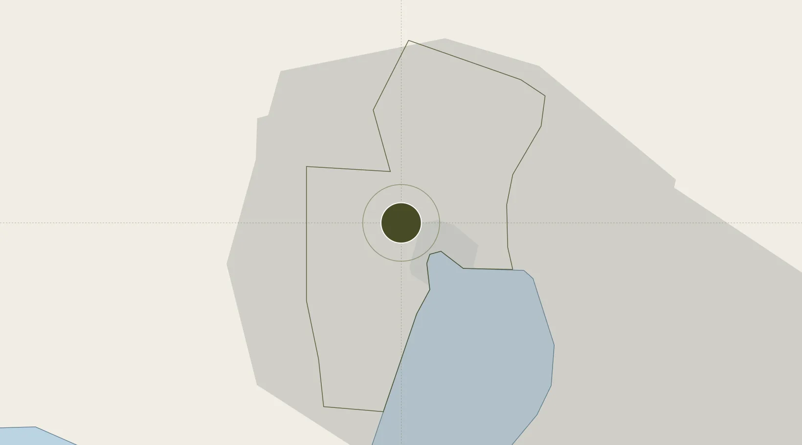
6.1401°, 125.1297°
59 ha
Zone area
6.5 km
Nearest port
9.9 km
Nearest airport

Gateway access

Nearest neighbours — logibook spatial index (haversine) over the source coordinates

Zone profile

Zone type
Diversified Zone
Open Zone Map
Region
General Santos
Open Zone Map
Status
Active
Open Zone Map
Management
Private
Open Zone Map
Operator
Richmond Land Innovations, Inc.
Open Zone Map
Legal framework
Special Economic Zone Act (Republic Act No. 7916) (as amended by Republic Act No. 8748)
Open Zone Map

Location

Location of ozm-3152
Natural Earth 10m (public domain) · General Santos · ozm-3152 · 6.14, 125.13GoogleOSMYandex

Nearby Logistics Neighbours

Ports
  1. 1General Santos7 km
  2. 2Davao116 km
  3. 3Mati150 km
  4. 4Polloc (Cotabato)168 km
  5. 5Iligan253 km
Nearest neighbours — logibook spatial index (haversine) over the source coordinates
Airports
  1. 1General Santos International Airport10 km
  2. 2Rajah Buayan Air Base12 km
  3. 3Allah Valley Airport49 km
  4. 4Central Mindanao Airport89 km
  5. 5Francisco Bangoy International Airport124 km
Nearest neighbours — logibook spatial index (haversine) over the source coordinates
Cities
  1. 1General Santos6 km
  2. 2Astorga90 km
  3. 3Davao, Mindanao128 km
  4. 4Kalamansig128 km
  5. 5DICT / SVT142 km
Nearest neighbours — logibook spatial index (haversine) over the source coordinates
Trade Zones
  1. 1Mindanao Polytechnic College IT Park3 km
  2. 2Foodport Processing Zone6 km
  3. 3Mabuhay I.T. Park6 km
  4. 4SRC Calumpang Economic Development Zone7 km
  5. 5Millennium Industrial Economic Zone7 km
Nearest neighbours — logibook spatial index (haversine) over the source coordinates
DatabookThe Record of Consolidated Knowledge
Philippines beyond logistics?
Browse databook

All Sources

Trade ZonesOpen Zone Map
CC BY
Portsthe NGA World Port Index
Public domain (US gov)
AirportsOurAirports
Public domain
LocationsUN/LOCODE
UN/LOCODE — free
← Philippines trade zones