Diversified Zone · China

Lingtai County Industrial Concentration Zone Active
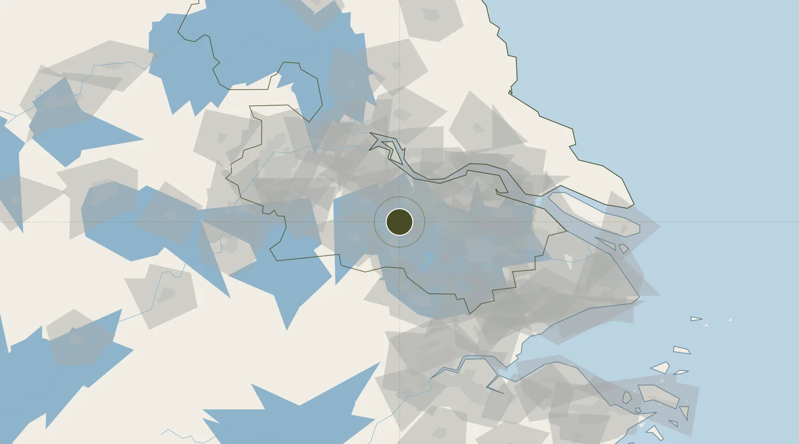
31.5710°, 119.8740°
64 ha
Zone area
45.2 km
Nearest port
40.0 km
Nearest airport

Gateway access

Nearest neighbours — logibook spatial index (haversine) over the source coordinates

Zone profile

Zone type
Diversified Zone
Open Zone Map
Region
Jiangsu
Open Zone Map
Status
Active
Open Zone Map
Management
Public
Open Zone Map
Operator
Management Committee of Lingtai County Industrial Concentration Zone
Open Zone Map
Legal framework
At the beginning of 2012, with the industrial development status and prospects of Lingtai County basically stable and clear, and the pace of revision and compilation of the industrial park (concentrated area) planning of the whole city accelerating and in
Open Zone Map

Location

Location of ozm-315
Natural Earth 10m (public domain) · Jiangsu · ozm-315 · 31.57, 119.87GoogleOSMYandex

Nearby Logistics Neighbours

Ports
  1. 1Changzhou45 km
  2. 2Jiangyin51 km
  3. 3Zhangjiangang66 km
  4. 4Gaogang79 km
  5. 5Zhenjiang83 km
Nearest neighbours — logibook spatial index (haversine) over the source coordinates
Airports
  1. 1Changzhou Benniu International Airport40 km
  2. 2Sunan Shuofang International Airport53 km
  3. 3Suzhou Guangfu Airport61 km
  4. 4Anji Tianzihu General Airport90 km
  5. 5Chenghu General Airport96 km
Nearest neighbours — logibook spatial index (haversine) over the source coordinates
Cities
  1. 1Changzhou25 km
  2. 2Taizhou31 km
  3. 3Wuxi48 km
  4. 4Jiangyin Pt49 km
  5. 5Chengxi51 km
Nearest neighbours — logibook spatial index (haversine) over the source coordinates
DatabookThe Record of Consolidated Knowledge
China beyond logistics?
Browse databook

All Sources

Trade ZonesOpen Zone Map
CC BY
Portsthe NGA World Port Index
Public domain (US gov)
AirportsOurAirports
Public domain
LocationsUN/LOCODE
UN/LOCODE — free
← China trade zones