Diversified Zone · Philippines

Pavia Special Economic Zone Inactive
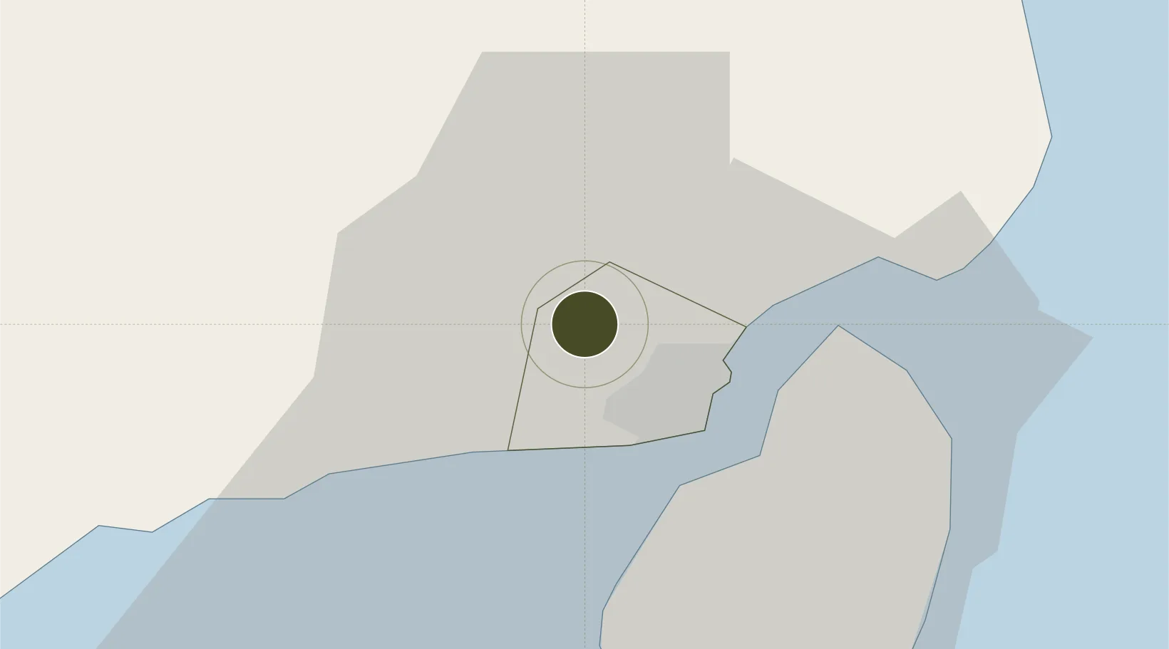
10.7626°, 122.5182°
50 ha
Zone area
10.0 km
Nearest port
8.3 km
Nearest airport

Gateway access

Nearest neighbours — logibook spatial index (haversine) over the source coordinates

Zone profile

Zone type
Diversified Zone
Open Zone Map
Region
Iloilo
Open Zone Map
Status
Inactive
Open Zone Map
Management
Public
Open Zone Map
Operator
Municipal Government of Pavia, Iloilo
Open Zone Map
Legal framework
Special Economic Zone Act (Republic Act No. 7916) (as amended by Republic Act No. 8748)
Open Zone Map

Location

Location of ozm-3145
Natural Earth 10m (public domain) · Iloilo · ozm-3145 · 10.76, 122.52GoogleOSMYandex

Nearby Logistics Neighbours

Ports
  1. 1Iloilo10 km
  2. 2Pulupandan41 km
  3. 3Port Capiz96 km
  4. 4San Carlos103 km
  5. 5Toledo130 km
Nearest neighbours — logibook spatial index (haversine) over the source coordinates
Airports
  1. 1Iloilo International Airport8 km
  2. 2Bacolod-Silay International Airport55 km
  3. 3Evelio Javier Airport64 km
  4. 4Roxas Airport96 km
  5. 5Kalibo International Airport103 km
Nearest neighbours — logibook spatial index (haversine) over the source coordinates
Cities
  1. 1Iloilo, Panay10 km
  2. 2Bacolod, Negros47 km
  3. 3La Carlota58 km
  4. 4Hamtic61 km
  5. 5Ajuy72 km
Nearest neighbours — logibook spatial index (haversine) over the source coordinates
Trade Zones
  1. 1Iloilo Gateway Cyberscape3 km
  2. 2Iloilo Business Park6 km
  3. 3SM City Iloilo BPO Tower6 km
  4. 4Plazuela de Iloilo7 km
  5. 5SMCI IT Center7 km
Nearest neighbours — logibook spatial index (haversine) over the source coordinates
DatabookThe Record of Consolidated Knowledge
Philippines beyond logistics?
Browse databook

All Sources

Trade ZonesOpen Zone Map
CC BY
Portsthe NGA World Port Index
Public domain (US gov)
AirportsOurAirports
Public domain
LocationsUN/LOCODE
UN/LOCODE — free
← Philippines trade zones