Specialized Zone · Philippines
SMCI IT Center Under Development
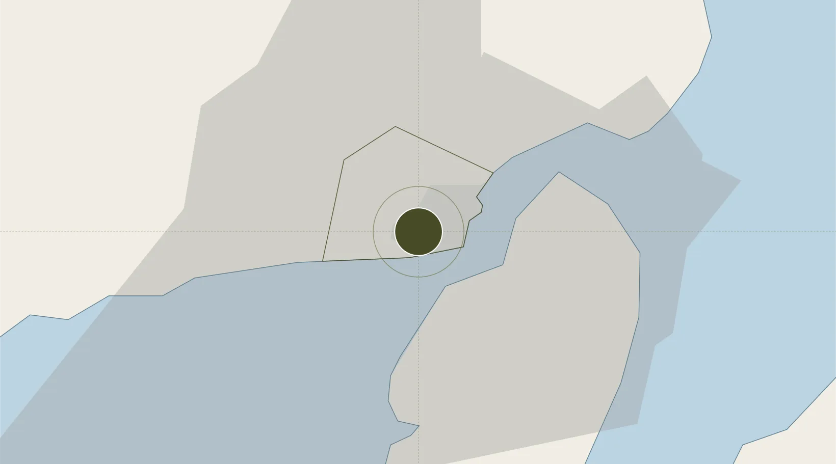
10.7117°, 122.5525°
17 ha
Zone area
3.6 km
Nearest port
15.0 km
Nearest airport
Gateway access
Zone profile
Zone type
Specialized Zone
Specialization
IT
Region
Iloilo
Status
Under Development
Management
Private
Operator
SM Prime Holdings, Inc.
Legal framework
Special Economic Zone Act (Republic Act No. 7916) (as amended by Republic Act No. 8748)
Location
Nearby Logistics Neighbours
Ports
- 1Iloilo4 km
- 2Pulupandan35 km
- 3San Carlos98 km
- 4Port Capiz100 km
- 5Toledo124 km
Airports
- 1Iloilo International Airport15 km
- 2Bacolod-Silay International Airport52 km
- 3Evelio Javier Airport68 km
- 4Roxas Airport101 km
- 5Kalibo International Airport109 km
Cities
- 1Iloilo, Panay3 km
- 2Bacolod, Negros43 km
- 3La Carlota52 km
- 4Hamtic64 km
- 5Ajuy73 km
Trade Zones
- 1Plazuela de Iloilo0 km
- 2SM City Iloilo BPO Tower1 km
- 3Iloilo Business Park1 km
- 4Iloilo Technohub1 km
- 5Iloilo Technohub II1 km
DatabookThe Record of Consolidated Knowledge
Philippines beyond logistics?