Transport Functions
Port
Road
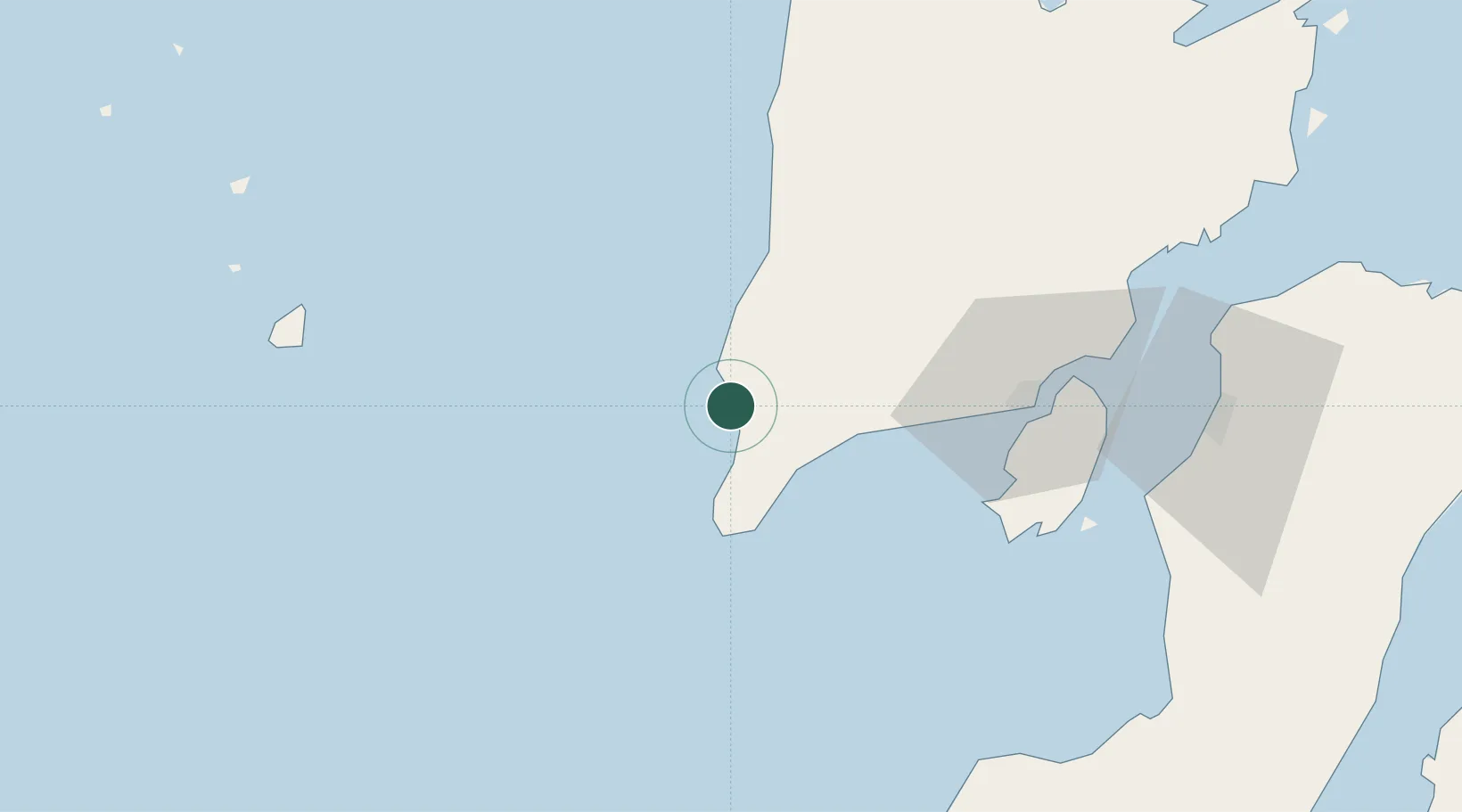
Hub Profile
Place type
District seat
Region
Western Visayas
Population
4,816
Time zone
Asia/Manila
Elevation
8 m
Location
Nearby Logistics Neighbours
Cities
- 1Iloilo, Panay67 km
- 2Bacolod, Negros107 km
- 3La Carlota109 km
- 4Himamaylan, Negros120 km
- 5Ajuy128 km
Ports
- 1Iloilo67 km
- 2Pulupandan93 km
- 3Port Capiz129 km
- 4San Carlos160 km
- 5Bais176 km
Airports
- 1Evelio Javier Airport8 km
- 2Iloilo International Airport59 km
- 3Cuyo Airport100 km
- 4Bacolod-Silay International Airport115 km
- 5Kalibo International Airport118 km
Trade Zones
- 1Eco-Tourism of Cabatuan, Iloilo55 km
- 2Pavia Special Economic Zone61 km
- 3Iloilo Gateway Cyberscape63 km
- 4Iloilo Business Park63 km
- 5Iloilo Technohub64 km
DatabookThe Record of Consolidated Knowledge
Philippines beyond logistics?