Specialized Zone · Philippines

Iloilo Gateway Cyberscape Under Development
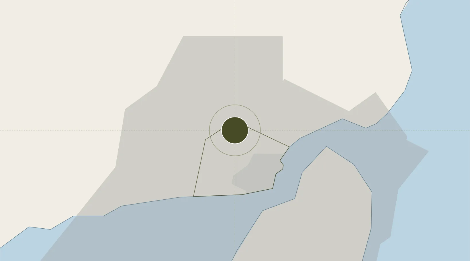
10.7858°, 122.5338°
4 ha
Zone area
11.0 km
Nearest port
6.9 km
Nearest airport

Gateway access

Nearest neighbours — logibook spatial index (haversine) over the source coordinates

Zone profile

Zone type
Specialized Zone
Open Zone Map
Specialization
Tech
Open Zone Map
Region
Iloilo
Open Zone Map
Status
Under Development
Open Zone Map
Management
Private
Open Zone Map
Operator
Iloilo Gateway Development Corporation
Open Zone Map
Legal framework
Special Economic Zone Act (Republic Act No. 7916) (as amended by Republic Act No. 8748)
Open Zone Map

Location

Location of ozm-3893
Natural Earth 10m (public domain) · Iloilo · ozm-3893 · 10.79, 122.53GoogleOSMYandex

Nearby Logistics Neighbours

Ports
  1. 1Iloilo11 km
  2. 2Pulupandan42 km
  3. 3Port Capiz93 km
  4. 4San Carlos102 km
  5. 5Toledo129 km
Nearest neighbours — logibook spatial index (haversine) over the source coordinates
Airports
  1. 1Iloilo International Airport7 km
  2. 2Bacolod-Silay International Airport53 km
  3. 3Evelio Javier Airport66 km
  4. 4Roxas Airport93 km
  5. 5Kalibo International Airport101 km
Nearest neighbours — logibook spatial index (haversine) over the source coordinates
Cities
  1. 1Iloilo, Panay11 km
  2. 2Bacolod, Negros46 km
  3. 3La Carlota59 km
  4. 4Hamtic63 km
  5. 5Ajuy69 km
Nearest neighbours — logibook spatial index (haversine) over the source coordinates
Trade Zones
  1. 1Pavia Special Economic Zone3 km
  2. 2Leganes Industrial Growth Center5 km
  3. 3SM City Iloilo BPO Tower8 km
  4. 4Iloilo Business Park8 km
  5. 5Plazuela de Iloilo8 km
Nearest neighbours — logibook spatial index (haversine) over the source coordinates
DatabookThe Record of Consolidated Knowledge
Philippines beyond logistics?
Browse databook

All Sources

Trade ZonesOpen Zone Map
CC BY
Portsthe NGA World Port Index
Public domain (US gov)
AirportsOurAirports
Public domain
LocationsUN/LOCODE
UN/LOCODE — free
← Philippines trade zones