Diversified Zone · Philippines

Petroleum Industry Economic Zone Active
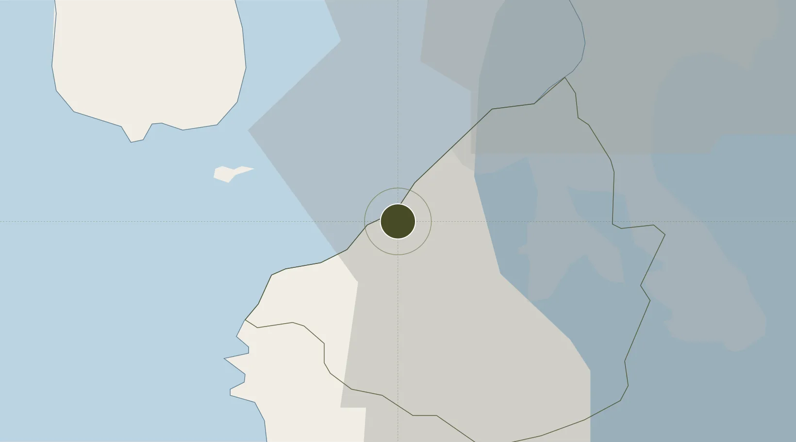
14.3310°, 120.7709°
15 ha
Zone area
32.2 km
Nearest port
23.2 km
Nearest airport

Gateway access

Nearest neighbours — logibook spatial index (haversine) over the source coordinates

Zone profile

Zone type
Diversified Zone
Open Zone Map
Region
Cavite
Open Zone Map
Status
Active
Open Zone Map
Management
Private
Open Zone Map
Operator
Jetti Industrial Development Corporation
Open Zone Map
Legal framework
Special Economic Zone Act (Republic Act No. 7916) (as amended by Republic Act No. 8748)
Open Zone Map

Location

Location of ozm-3106
Natural Earth 10m (public domain) · Cavite · ozm-3106 · 14.33, 120.77GoogleOSMYandex

Nearby Logistics Neighbours

Ports
  1. 1Nasugbu32 km
  2. 2Mariveles33 km
  3. 3Manila35 km
  4. 4Batangas City71 km
  5. 5Subic Bay75 km
Nearest neighbours — logibook spatial index (haversine) over the source coordinates
Airports
  1. 1Danilo Atienza Air Base23 km
  2. 2Ninoy Aquino International Airport33 km
  3. 3Subic Bay International Airport / Naval Air Station Cubi Point75 km
  4. 4Lubang Airport89 km
  5. 5Clark International Airport / Clark Air Base98 km
Nearest neighbours — logibook spatial index (haversine) over the source coordinates
Cities
  1. 1Cavite, Luzon9 km
  2. 2Corregidor Island21 km
  3. 3Lucanin22 km
  4. 4Parañaque31 km
  5. 5Nasugbu, Luzon33 km
Nearest neighbours — logibook spatial index (haversine) over the source coordinates
Trade Zones
  1. 1Cavite Technopark-Special Economic Zone5 km
  2. 2EDAMPI Industrial Park6 km
  3. 3Suntrust Ecotown Tanza7 km
  4. 4EDAMPI Technopark10 km
  5. 5Cavite Eco-Industrial Estate10 km
Nearest neighbours — logibook spatial index (haversine) over the source coordinates
DatabookThe Record of Consolidated Knowledge
Philippines beyond logistics?
Browse databook

All Sources

Trade ZonesOpen Zone Map
CC BY
Portsthe NGA World Port Index
Public domain (US gov)
AirportsOurAirports
Public domain
LocationsUN/LOCODE
UN/LOCODE — free
← Philippines trade zones