Export Processing Zone · Panama

Zona Franca Eurofusión Active
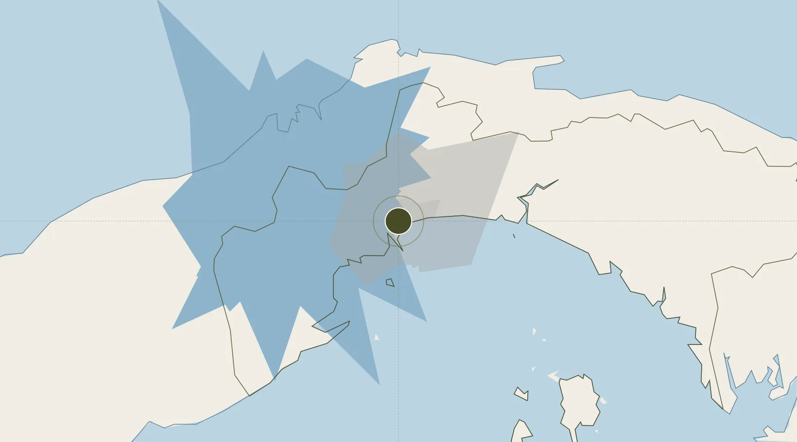
9.0016°, -79.5281°
8 ha
Zone area
7.1 km
Nearest port
4.4 km
Nearest airport

Gateway access

Nearest neighbours — logibook spatial index (haversine) over the source coordinates

Zone profile

Zone type
Export Processing Zone
Open Zone Map
Region
Panama
Open Zone Map
Status
Active
Open Zone Map
Management
Private
Open Zone Map
Operator
Eurofusión, SA
Open Zone Map
Legal framework
Law No. 19 of 2001, Law 120 of 2013, and Law No. 8 of April 4, 2016
Open Zone Map

Location

Location of ozm-3066
Natural Earth 10m (public domain) · Panama · ozm-3066 · 9.00, -79.53GoogleOSMYandex

Nearby Logistics Neighbours

Ports
  1. 1Balboa7 km
  2. 2Vacamonte21 km
  3. 3Bahia De Las Minas55 km
  4. 4Puerto Colon56 km
  5. 5Puerto Cristobal58 km
Nearest neighbours — logibook spatial index (haversine) over the source coordinates
Airports
  1. 1Marcos A. Gelabert International Airport4 km
  2. 2Panamá Pacífico International Airport12 km
  3. 3Tocumen International Airport18 km
  4. 4Enrique Adolfo Jimenez Airport54 km
  5. 5Raul Arias Espinoza Airport68 km
Nearest neighbours — logibook spatial index (haversine) over the source coordinates
Cities
  1. 1El Dorado3 km
  2. 2Ancon5 km
  3. 3Panamá, Ciudad de5 km
  4. 4Balboa6 km
  5. 5Rodman7 km
Nearest neighbours — logibook spatial index (haversine) over the source coordinates
Trade Zones
  1. 1Zona Franca de Hewlett Packard2 km
  2. 2Zona Franca de Albrook3 km
  3. 3Zona Franca Marpesca Corozal5 km
  4. 4Zona Franca Panexport6 km
  5. 5City of Knowledge (Ciudad del Saber)7 km
Nearest neighbours — logibook spatial index (haversine) over the source coordinates
DatabookThe Record of Consolidated Knowledge
Panama beyond logistics?
Browse databook

All Sources

Trade ZonesOpen Zone Map
CC BY
Portsthe NGA World Port Index
Public domain (US gov)
AirportsOurAirports
Public domain
LocationsUN/LOCODE
UN/LOCODE — free
← Panama trade zones