Large airport · Palau
Roman Tmetuchl International AirportPTRO
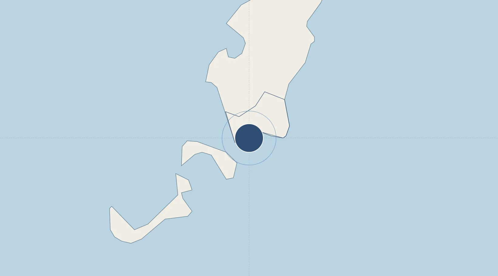
7.3670°, 134.5441°
7,200 ft
Longest runway
1
Runways
176 ft
Elevation
Runway & Layout

Radio Frequencies
FSS
123.6 MHz
KOROR RDO
Navaids
ROR NDB-DME Koror 0.37 MHz
Runways · 1
| Runway | Dimensions | Surface | True heading | Lit |
|---|---|---|---|---|
| 09/27 | 7,200 × 150ft | Asphalt | 091° | ✓ |
Airport Specifications
IATA code
ROR
ICAO code
PTRO
Airport class
Large airport
Scheduled service
Yes
Runway surface
Asphalt
Served city
Babelthuap Island
Location
Nearby Logistics Neighbours
Airports
- 1Yap International Airport456 km
- 2Werur Airport904 km
- 3Pitu Airport908 km
- 4Bislig Airport911 km
- 5Mati National Airport914 km
Cities
- 1Sorol Atoll649 km
- 2Mapia Island721 km
- 3Boston/Davao905 km
- 4Marihatag, Mindanao923 km
- 5Aras Asan/Bislig923 km
Ports
- 1Hinatuan911 km
- 2Mangagoy912 km
- 3Manokwari Road917 km
- 4Mati920 km
- 5Davao985 km
Trade Zones
- 1National Capitol Complex Tax Free Zone16 km
- 2Ngardmau Free Trade Zone25 km
- 3KEK Morotai907 km
- 4A57 Techno Park914 km
- 5The Kopiat Island Resort Project961 km
DatabookThe Record of Consolidated Knowledge
Palau beyond logistics?