Transport Functions
Multimodal
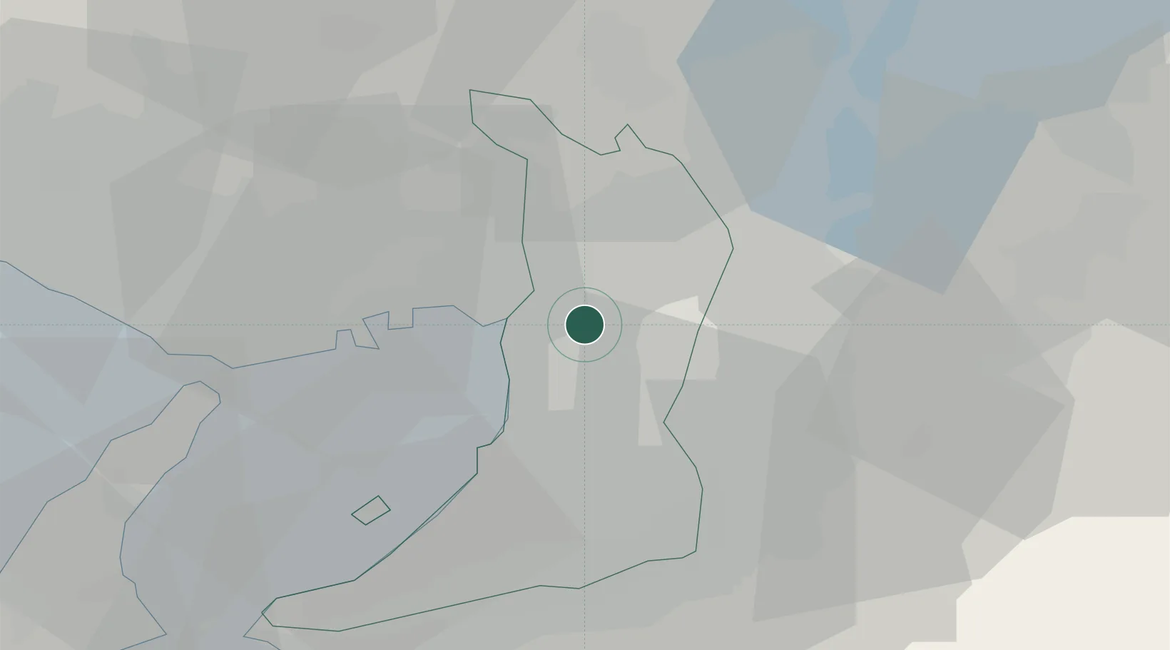
Hub Profile
Region
27
Location
Nearby Logistics Neighbours
Cities
- 1Minato-Ku, Osaka5 km
- 2Higashiosaka City6 km
- 3Konohana-Ku, Osaka8 km
- 4Kadoma8 km
- 5Toyonaka9 km
Ports
- 1Osaka9 km
- 2Amagasaki12 km
- 3Sakai-Senboku17 km
- 4Hannan Ko29 km
- 5Kobe31 km
Airports
Trade Zones
- 1Kansai Innovation International Strategic Comprehensive Special Zone3 km
- 2Nara Park Tourist Area Revitalization Comprehensive Special Zone30 km
- 3Rinku Town Izumisano City Area Regional Revitalization Comprehensive Special Zone37 km
- 4Lake Biwa Southern Area New Industry Creation Special Zone48 km
- 5Kyoto City Regional Revitalization Comprehensive Special Zone49 km
DatabookThe Record of Consolidated Knowledge
Japan beyond logistics?