UN/LOCODE hub · Japan
JPOSA
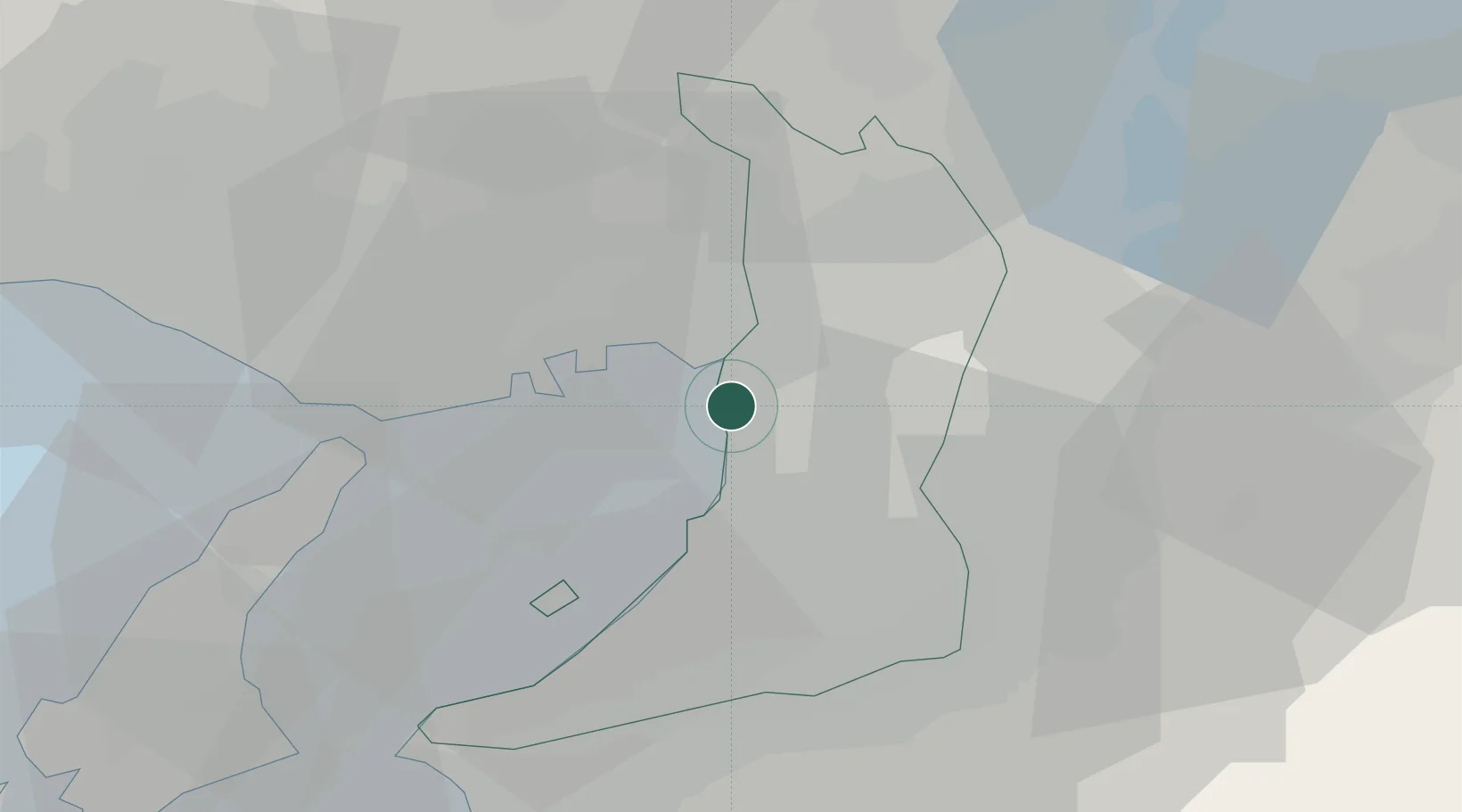
Osaka
34.6409°, 135.4204°
2,753,862
Population
3
Transport functions
10
Container terminals
Transport Functions
Port
Airport
Postal
Hub Profile
Place type
Regional capital
Region
Osaka
Population
2,753,862
Time zone
Asia/Tokyo
Elevation
4 m
Logistics facilities
32
Container terminals
10
Location
Nearby Logistics Neighbours
Cities
- 1Konohana-Ku, Osaka3 km
- 2Toyonaka5 km
- 3Minato-Ku, Osaka5 km
- 4AmagasakiNishinomiyaAshiya8 km
- 5Osaka-Fu10 km
Ports
- 1Amagasaki7 km
- 2Sakai-Senboku10 km
- 3Hannan Ko20 km
- 4Kobe22 km
- 5Higashi-Harima54 km
Airports
Trade Zones
- 1Kansai Innovation International Strategic Comprehensive Special Zone8 km
- 2Rinku Town Izumisano City Area Regional Revitalization Comprehensive Special Zone29 km
- 3Nara Park Tourist Area Revitalization Comprehensive Special Zone39 km
- 4Wakayama Prefecture "Takano Kumano" Cultural and Regional Promotion Comprehensive Special Zone50 km
- 5Lake Biwa Southern Area New Industry Creation Special Zone58 km
DatabookThe Record of Consolidated Knowledge
Japan beyond logistics?