UN/LOCODE hub · South Korea
KRUJU

Ulju-gun/Ulsan

32.5333°, 129.2833°
2
Transport functions

Transport Functions

Rail
Road
UN/LOCODE

Hub Profile

Region
31
GeoNames

Location

Location of KRUJU
Natural Earth 10m (public domain) · 31 · KRUJU · 32.53, 129.28GoogleOSMYandex

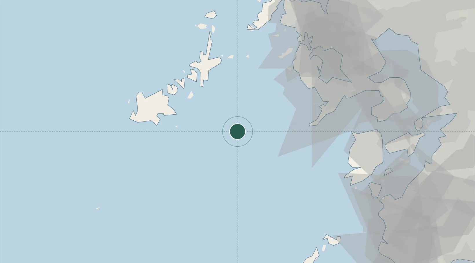
Nearby Logistics Neighbours

Cities
  1. 1Goto45 km
  2. 2Seto55 km
  3. 3Nagasaki56 km
  4. 4Saikai56 km
  5. 5Ôshima, Nagasaki67 km
Nearest neighbours — logibook spatial index (haversine) over the source coordinates
Ports
  1. 1Matsu-Shima53 km
  2. 2Aokata54 km
  3. 3Nagasaki57 km
  4. 4Sasebo81 km
  5. 5Imari101 km
Nearest neighbours — logibook spatial index (haversine) over the source coordinates
Airports
  1. 1Fukue Airport45 km
  2. 2Nagasaki Airport73 km
  3. 3Amakusa Airport82 km
  4. 4Kyushu Saga International Airport117 km
  5. 5Iki Airport143 km
Nearest neighbours — logibook spatial index (haversine) over the source coordinates
DatabookThe Record of Consolidated Knowledge
South Korea beyond logistics?
Browse databook

All Sources

LocationsUN/LOCODE
UN/LOCODE — free
Portsthe NGA World Port Index
Public domain (US gov)
AirportsOurAirports
Public domain
Trade Zonesthe World Bank SEZ database
CC BY 4.0
Trade ZonesOpen Zone Map
CC BY
← South Korea locations