Transport Functions
Port
Road
Hub Profile
Place type
Provincial seat
Region
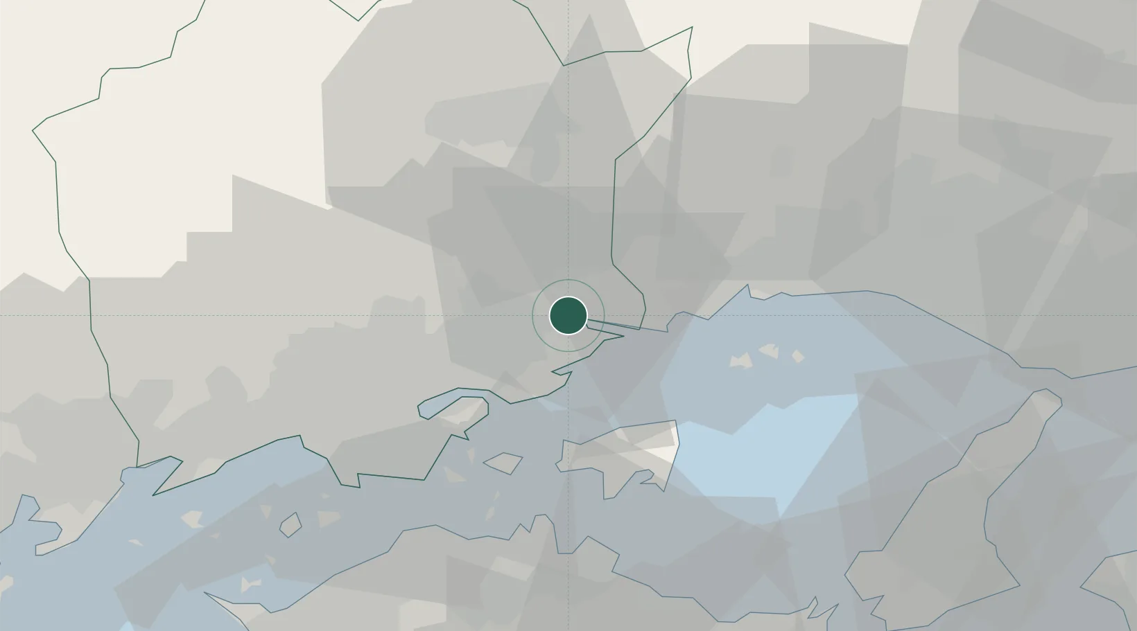
Okayama
Population
39,117
Time zone
Asia/Tokyo
Elevation
284 m
Location
Nearby Logistics Neighbours
Cities
- 1Setouchi11 km
- 2Wake16 km
- 3Mitsu Kanagawa24 km
- 4Aioi27 km
- 5Soja, Okayama40 km
Airports
Trade Zones
- 1Okayama-type Sustainable Socio-Economic Model Construction Comprehensive Special Zone26 km
- 2Takamatsu Compact Eco-City Special Zone44 km
- 3Hyper & Green Innovation Mizushima Complex General Special Zone50 km
- 4Kagawa Medical Welfare General Special Zone61 km
- 5Awaji Environmental Future Island Special Zone78 km
DatabookThe Record of Consolidated Knowledge
Japan beyond logistics?