Transport Functions
Port
Road
Hub Profile
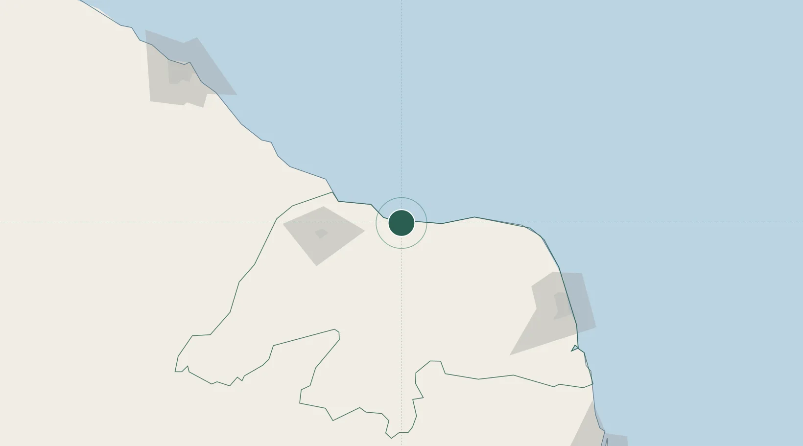
Place type
Populated place
Region
Rio Grande do Norte
Population
27,369
Time zone
America/Fortaleza
Elevation
7 m
Location
Nearby Logistics Neighbours
Cities
- 1Guamaré35 km
- 2Galinhos41 km
- 3Areia Branca56 km
- 4Mossoró80 km
- 5Natal175 km
Ports
- 1Guamare Oil Terminal47 km
- 2Natal176 km
- 3Cabedelo288 km
- 4Recife382 km
- 5Porto De Suape411 km
Airports
Trade Zones
- 1ZPE de Macaíba (RN)156 km
- 2ZPE de João Pessoa (PB)294 km
- 3ZPE de Pecém (CE) ( Port of Pecém)298 km
- 4ZPE de Suape (PE)410 km
- 5ZPE de Parnaíba (PI)617 km
DatabookThe Record of Consolidated Knowledge
Brazil beyond logistics?