Transport Functions
Multimodal
Hub Profile
Place type
Populated place
Region
Racha-Lechkhumi and Kvemo Svaneti
Time zone
Asia/Tbilisi
Elevation
459 m
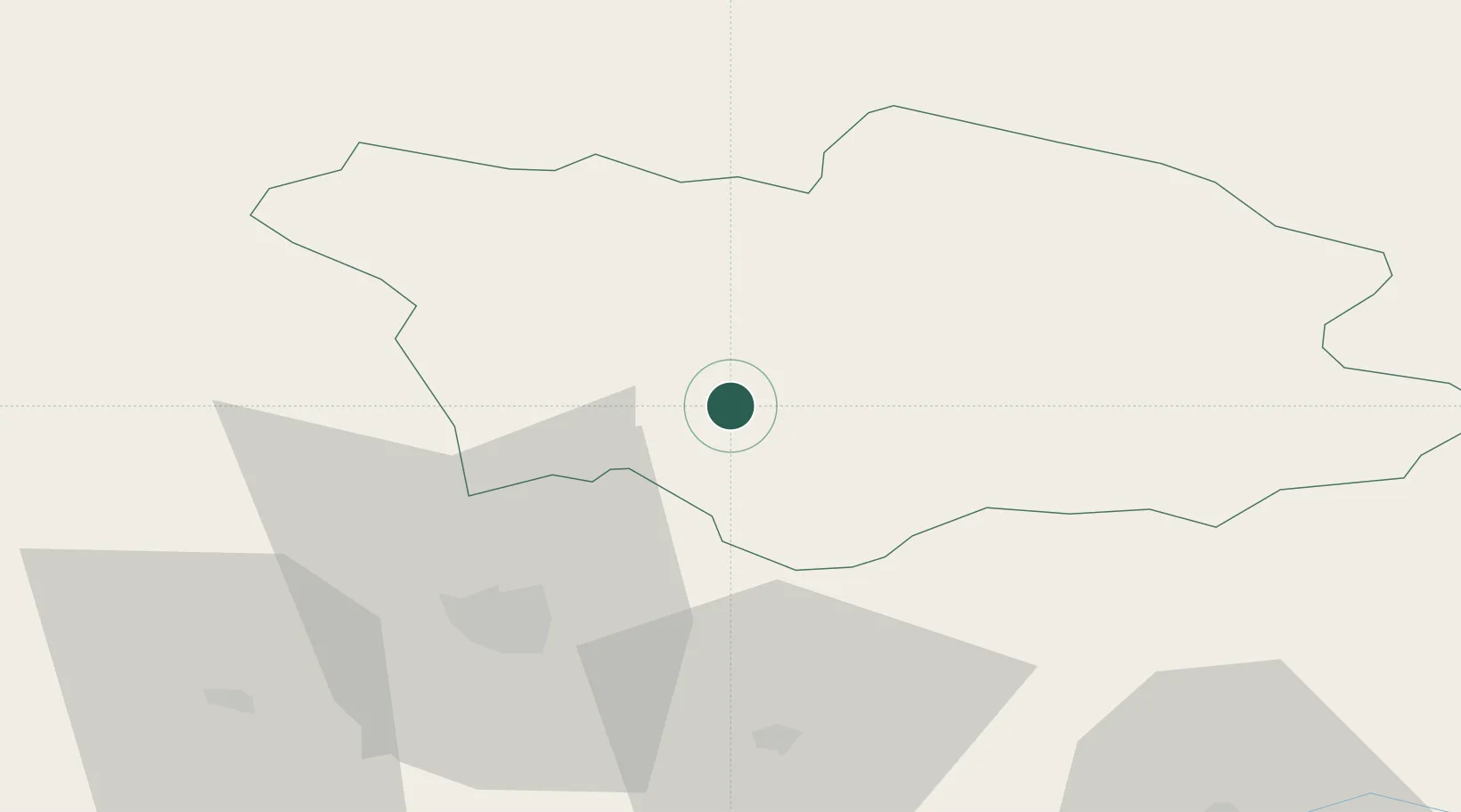
Location
Nearby Logistics Neighbours
Cities
- 1Zestap'oni51 km
- 2Shorapani53 km
- 3Samtredia69 km
- 4Tsalenjikha80 km
- 5Senaki80 km
Ports
- 1Supsa Marine Terminal114 km
- 2Batumi148 km
- 3Sokhumi169 km
- 4Hopa181 km
- 5Rize262 km
Airports
- 1Ambrolauri Airport14 km
- 2David the Builder Kutaisi International Airport57 km
- 3Mestia Queen Tamar Airport59 km
- 4Senaki Air Base83 km
- 5Ozurgeti Air Base114 km
Trade Zones
DatabookThe Record of Consolidated Knowledge
Georgia beyond logistics?