Transport Functions
Rail
Road
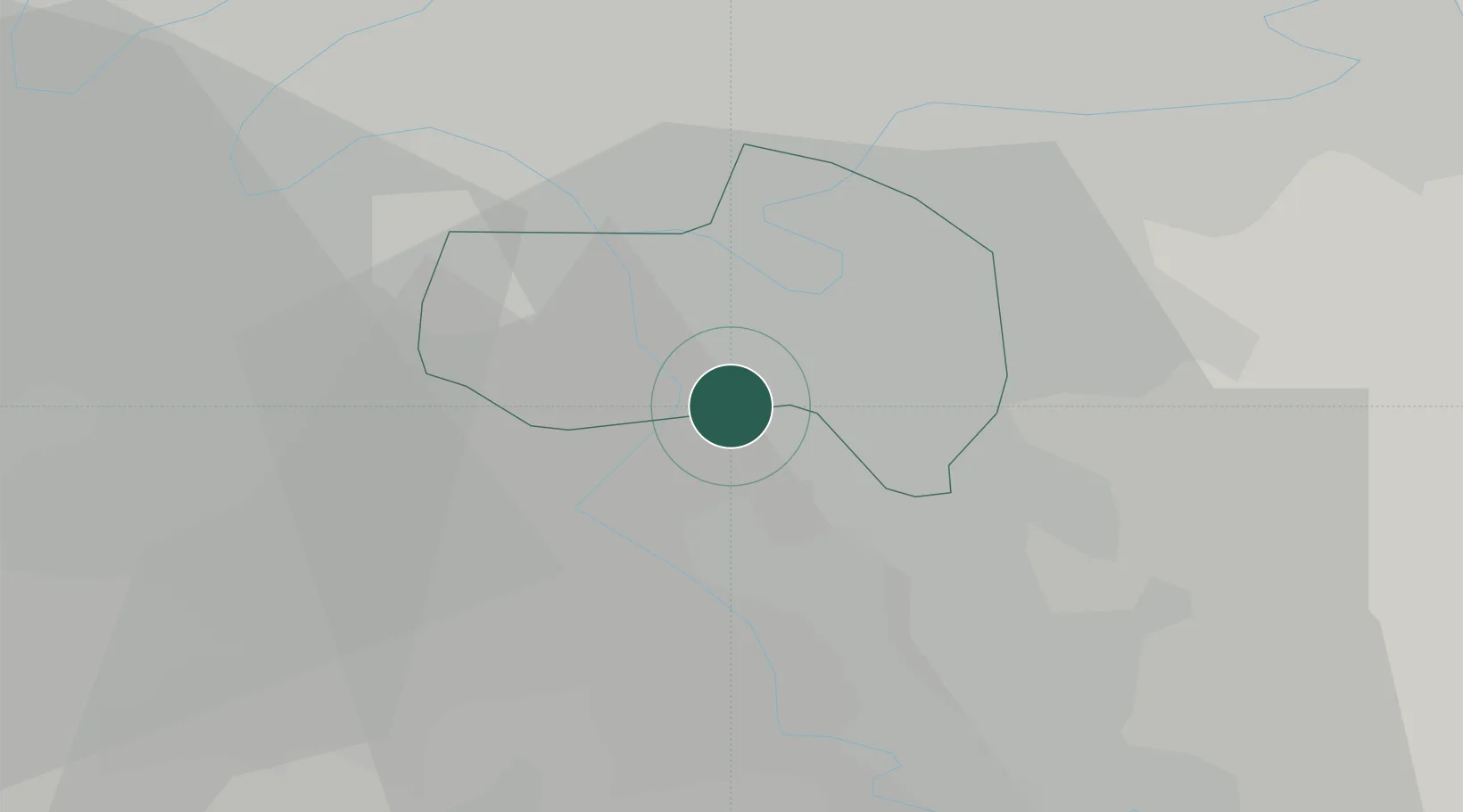
Hub Profile
Place type
Populated place
Region
Île-de-France
Population
11,969
Time zone
Europe/Paris
Elevation
52 m
Location
Nearby Logistics Neighbours
Cities
- 1Limeil-Brévannes1 km
- 2Villeneuve-Saint-Georges1 km
- 3Bonneuil-sur-Marne4 km
- 4Brunoy4 km
- 5Vigneux-sur-Seine5 km
Ports
- 1Port Of Rouen129 km
- 2Dieppe167 km
- 3Le Treport168 km
- 4Saint-Valery-Sur-Somme173 km
- 5Honfleur181 km
Airports
Trade Zones
DatabookThe Record of Consolidated Knowledge
France beyond logistics?