UN/LOCODE hub · France
FRGZM

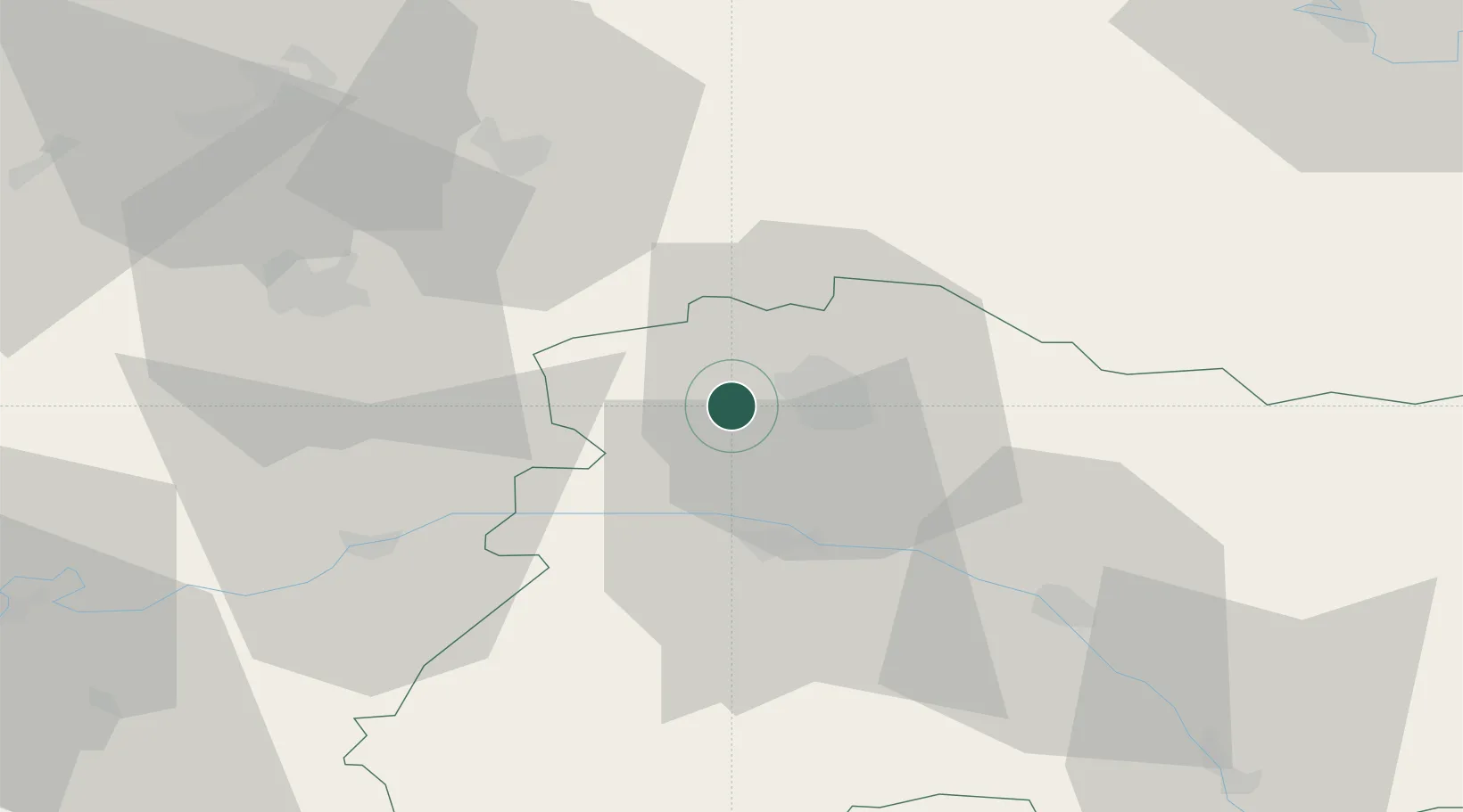
Coulommes-la-Montagne

49.2333°, 3.9167°
223
Population
1
Transport functions

Transport Functions

Multimodal
UN/LOCODE

Hub Profile

Place type
Populated place
GeoNames
Region
Grand Est
GeoNames
Population
223
GeoNames
Time zone
Europe/Paris
GeoNames
Elevation
145 m
GeoNames

Location

Location of FRGZM
Natural Earth 10m (public domain) · Grand Est · FRGZM · 49.23, 3.92GoogleOSMYandex

Nearby Logistics Neighbours

Cities
  1. 1Vrigny0 km
  2. 2Pargny-lès-Reims2 km
  3. 3Gueux2 km
  4. 4Thillois3 km
  5. 5Janvry3 km
Nearest neighbours — logibook spatial index (haversine) over the source coordinates
Ports
  1. 1Bruxelles184 km
  2. 2Saint-Valery-Sur-Somme196 km
  3. 3Ghent204 km
  4. 4Le Treport206 km
  5. 5Port Of Rouen208 km
Nearest neighbours — logibook spatial index (haversine) over the source coordinates
Airports
  1. 1Chalons Vatry airport55 km
  2. 2Charleville-Mézières Ardennes-Etienne Riché Airfield81 km
  3. 3Péronne Saint-Quentin Airfield95 km
  4. 4Saint-Dizier – Robinson Air Base98 km
  5. 5Creil Air Base102 km
Nearest neighbours — logibook spatial index (haversine) over the source coordinates
Trade Zones
  1. 1ZFU Reims5 km
  2. 2ZFU Presles, Chevreux47 km
  3. 3ZFU Meaux81 km
  4. 4ZFU Ronde Couture81 km
  5. 5ZFU Le Vermandois Vermand, Fayet, Artois, Champagne85 km
Nearest neighbours — logibook spatial index (haversine) over the source coordinates
DatabookThe Record of Consolidated Knowledge
France beyond logistics?
Browse databook

All Sources

LocationsUN/LOCODE
UN/LOCODE — free
LocationsGeoNames
CC BY 4.0
Portsthe NGA World Port Index
Public domain (US gov)
AirportsOurAirports
Public domain
Trade Zonesthe World Bank SEZ database
CC BY 4.0
Trade ZonesOpen Zone Map
CC BY
← France locations