UN/LOCODE hub · France
FRMTS

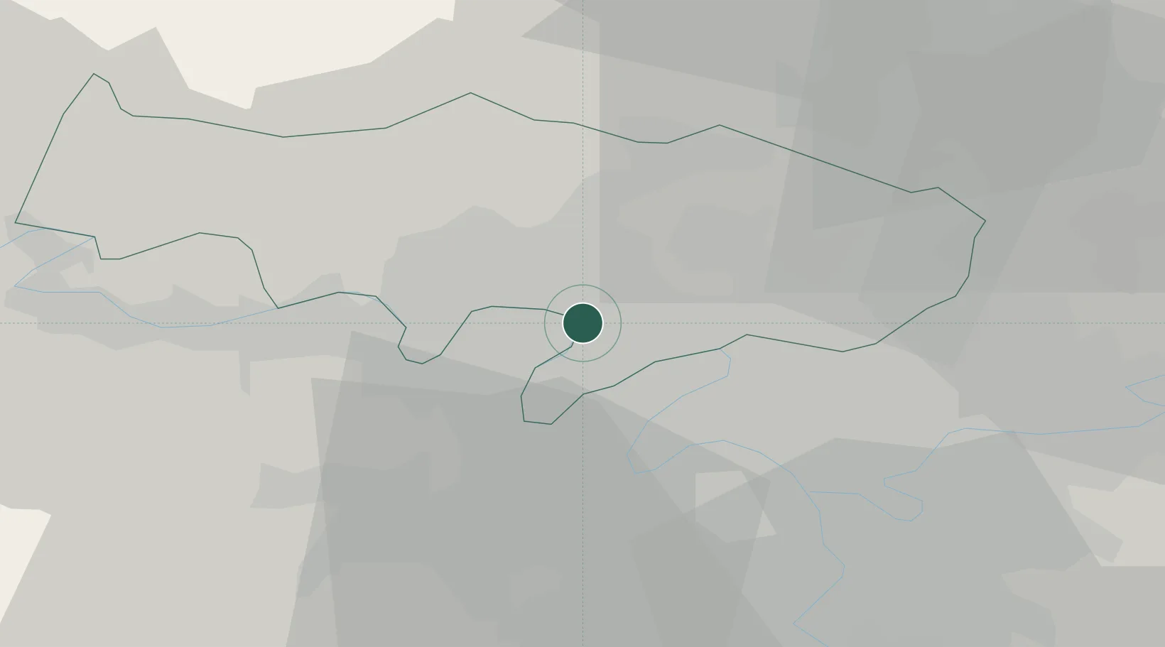
Montigny-lès-Cormeilles

48.9833°, 2.1833°
17,910
Population
2
Transport functions

Transport Functions

Rail
Road
UN/LOCODE

Hub Profile

Place type
Populated place
GeoNames
Region
Île-de-France
GeoNames
Population
17,910
GeoNames
Time zone
Europe/Paris
GeoNames
Elevation
164 m
GeoNames

Location

Location of FRMTS
Natural Earth 10m (public domain) · Île-de-France · FRMTS · 48.98, 2.18GoogleOSMYandex

Nearby Logistics Neighbours

Cities
  1. 1Franconville4 km
  2. 2Pierrelaye4 km
  3. 3Bessancourt6 km
  4. 4Houilles8 km
  5. 5Eaubonne8 km
Nearest neighbours — logibook spatial index (haversine) over the source coordinates
Ports
  1. 1Port Of Rouen96 km
  2. 2Dieppe132 km
  3. 3Le Treport134 km
  4. 4Saint-Valery-Sur-Somme140 km
  5. 5Honfleur151 km
Nearest neighbours — logibook spatial index (haversine) over the source coordinates
Airports
  1. 1Pontoise-Cormeilles Aerodrome17 km
  2. 2Paris-Le Bourget International Airport19 km
  3. 3Vélizy-Villacoublay Air Base23 km
  4. 4Toussus-le-Noble Airport26 km
  5. 5Charles de Gaulle International Airport27 km
Nearest neighbours — logibook spatial index (haversine) over the source coordinates
Trade Zones
  1. 1ZFU Argenteuil5 km
  2. 2ZFU Sartrouville6 km
  3. 3ZFU Epinay-sur-Seine9 km
  4. 4ZFU Stains15 km
  5. 5ZFU Villiers-le-Bel15 km
Nearest neighbours — logibook spatial index (haversine) over the source coordinates
DatabookThe Record of Consolidated Knowledge
France beyond logistics?
Browse databook

All Sources

LocationsUN/LOCODE
UN/LOCODE — free
LocationsGeoNames
CC BY 4.0
Portsthe NGA World Port Index
Public domain (US gov)
AirportsOurAirports
Public domain
Trade Zonesthe World Bank SEZ database
CC BY 4.0
Trade ZonesOpen Zone Map
CC BY
← France locations