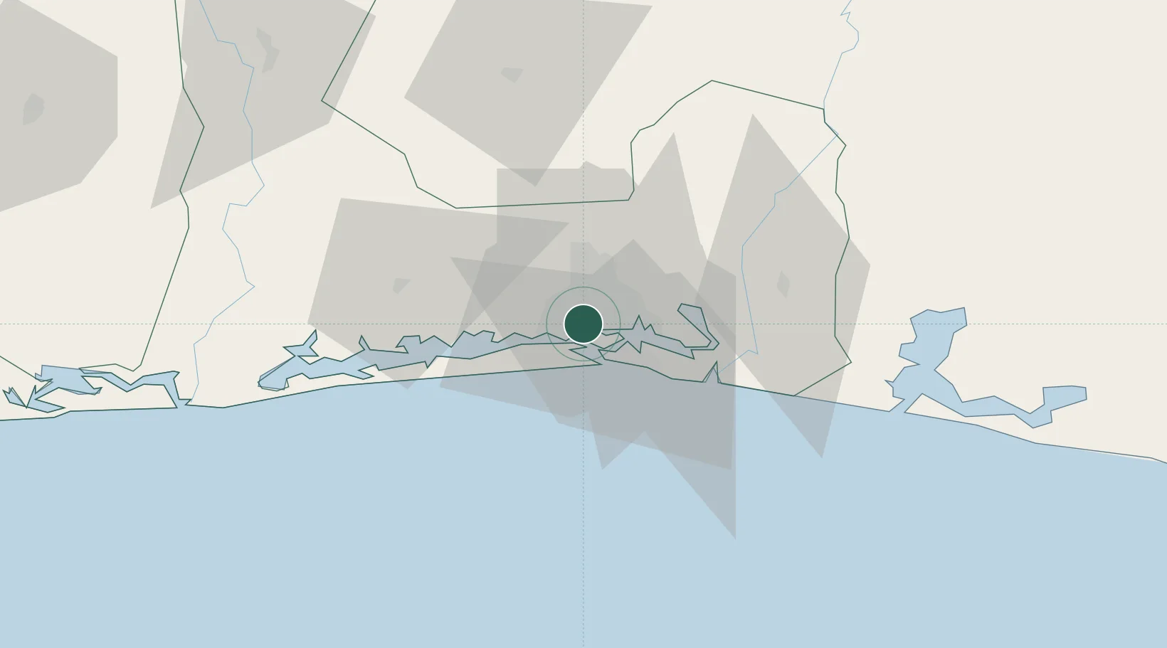
UN/LOCODE hub · Côte d’Ivoire
CIABJ

Abidjan

5.3281°, -4.0377°
6,321,017
Population
3
Transport functions
2
Container terminals

Transport Functions

Port
Airport
Postal
Abidjan is also a profiled seaport →
UN/LOCODE

Hub Profile

Place type
Regional capital
GeoNames
Region
Abidjan Autonomous District
GeoNames
Population
6,321,017
GeoNames
Time zone
Africa/Abidjan
GeoNames
Elevation
50 m
GeoNames
Logistics facilities
40
UN/LOCODE
Container terminals
2
UN/LOCODE

Location

Location of CIABJ
Natural Earth 10m (public domain) · Abidjan Autonomous District · CIABJ · 5.33, -4.04GoogleOSMYandex

Nearby Logistics Neighbours

Cities
  1. 1Cocody5 km
  2. 2Vridi11 km
  3. 3Port-Bouët12 km
  4. 4Dabou36 km
  5. 5Jacqueville44 km
Nearest neighbours — logibook spatial index (haversine) over the source coordinates
Ports
  1. 1Port Bouet13 km
  2. 2Espoir Marine Terminal55 km
  3. 3Baobab Marine Terminal70 km
  4. 4Takoradi260 km
  5. 5Sekondi262 km
Nearest neighbours — logibook spatial index (haversine) over the source coordinates
Airports
  1. 1Félix-Houphouët-Boigny International Airport14 km
  2. 2Yamoussoukro International Airport229 km
  3. 3Takoradi Airport255 km
  4. 4Bouaké Airport292 km
  5. 5Sunyani Airport295 km
Nearest neighbours — logibook spatial index (haversine) over the source coordinates
Trade Zones
  1. 1Vridi Industrial Park8 km
  2. 2Koumassi Industrial Park11 km
  3. 3PK 24 Industrial Park16 km
  4. 4Mahatma Ghandi Free Trade Zone33 km
  5. 5Bonoua Industrial Park52 km
Nearest neighbours — logibook spatial index (haversine) over the source coordinates
DatabookThe Record of Consolidated Knowledge
Côte d’Ivoire beyond logistics?
Browse databook

All Sources

LocationsUN/LOCODE
UN/LOCODE — free
LocationsGeoNames
CC BY 4.0
Portsthe NGA World Port Index
Public domain (US gov)
AirportsOurAirports
Public domain
Trade Zonesthe World Bank SEZ database
CC BY 4.0
Trade ZonesOpen Zone Map
CC BY
← Côte d’Ivoire locations