Transport Functions
Multimodal
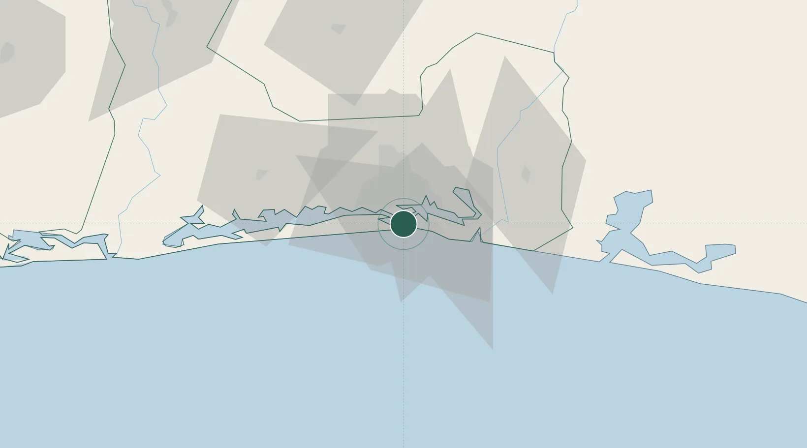
Hub Profile
Place type
Populated place
Region
Abidjan Autonomous District
Time zone
Africa/Abidjan
Elevation
7 m
Location
Nearby Logistics Neighbours
Cities
- 1Port-Bouët2 km
- 2Abidjan11 km
- 3Cocody11 km
- 4Dabou43 km
- 5Jacqueville48 km
Ports
- 1Port Bouet3 km
- 2Abidjan4 km
- 3Espoir Marine Terminal56 km
- 4Baobab Marine Terminal70 km
- 5Takoradi253 km
Airports
- 1Félix-Houphouët-Boigny International Airport6 km
- 2Yamoussoukro International Airport239 km
- 3Takoradi Airport248 km
- 4Sunyani Airport298 km
- 5Bouaké Airport302 km
Trade Zones
DatabookThe Record of Consolidated Knowledge
Côte d’Ivoire beyond logistics?