Transport Functions
Multimodal
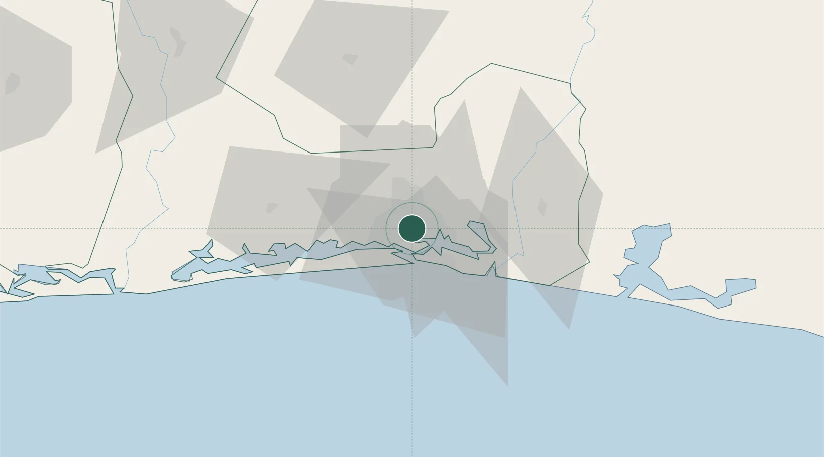
Hub Profile
Place type
Populated place
Region
Abidjan Autonomous District
Time zone
Africa/Abidjan
Elevation
43 m
Location
Nearby Logistics Neighbours
Cities
- 1Abidjan5 km
- 2Vridi11 km
- 3Port-Bouët12 km
- 4Dabou41 km
- 5Jacqueville49 km
Ports
- 1Abidjan11 km
- 2Port Bouet14 km
- 3Espoir Marine Terminal60 km
- 4Baobab Marine Terminal74 km
- 5Takoradi256 km
Airports
- 1Félix-Houphouët-Boigny International Airport13 km
- 2Yamoussoukro International Airport229 km
- 3Takoradi Airport252 km
- 4Sunyani Airport290 km
- 5Bouaké Airport291 km
Trade Zones
DatabookThe Record of Consolidated Knowledge
Côte d’Ivoire beyond logistics?