Transport Functions
Port
Hub Profile
Place type
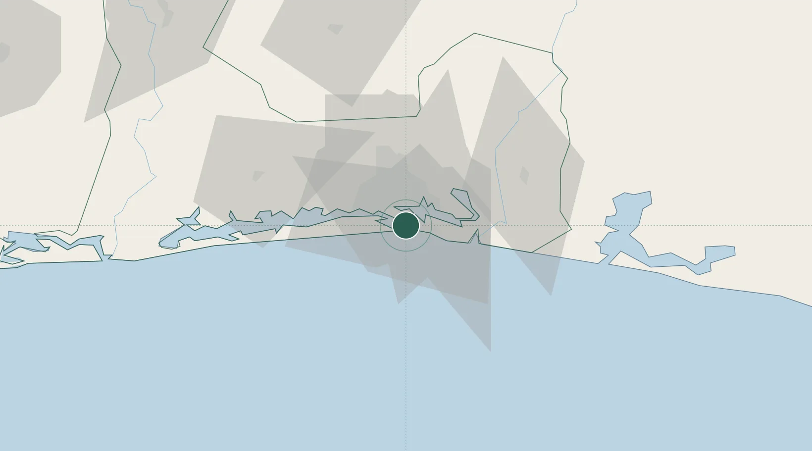
Populated place
Region
Abidjan Autonomous District
Time zone
Africa/Abidjan
Elevation
9 m
Location
Nearby Logistics Neighbours
Cities
- 1Vridi2 km
- 2Abidjan12 km
- 3Cocody12 km
- 4Dabou45 km
- 5Jacqueville50 km
Ports
- 1Abidjan6 km
- 2Espoir Marine Terminal58 km
- 3Baobab Marine Terminal72 km
- 4Takoradi251 km
- 5Sekondi253 km
Airports
- 1Félix-Houphouët-Boigny International Airport5 km
- 2Yamoussoukro International Airport240 km
- 3Takoradi Airport246 km
- 4Sunyani Airport297 km
- 5Bouaké Airport303 km
Trade Zones
DatabookThe Record of Consolidated Knowledge
Côte d’Ivoire beyond logistics?