Free Trade Zone · China

Gansu Dongxiang Economic Development Zone Active
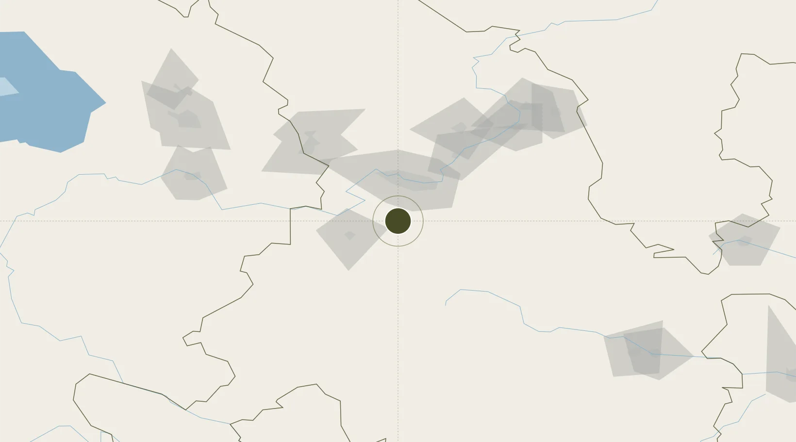
35.7301°, 103.6481°
4,680 ha
Zone area
1,142.5 km
Nearest port
49.9 km
Nearest airport

Gateway access

Nearest neighbours — logibook spatial index (haversine) over the source coordinates

Zone profile

Zone type
Free Trade Zone
Open Zone Map
Region
Gansu
Open Zone Map
Status
Active
Open Zone Map
Management
Public
Open Zone Map
Operator
Management Committee of Gansu Dongxiang Economic Development Zone
Open Zone Map
Legal framework
After the National Development and Reform Commission examination and approval, in May 2006 to the National Development and Reform Commission announcement (2006 No. 37) to give the announcement, by the Gansu provincial people's government (Gan Government l
Open Zone Map

Location

Location of ozm-1567
Natural Earth 10m (public domain) · Gansu · ozm-1567 · 35.73, 103.65GoogleOSMYandex

Nearby Logistics Neighbours

Ports
  1. 1Hankow1143 km
  2. 2Tianjin Xin Gang1303 km
  3. 3Fang-Cheng1620 km
  4. 4Qinzhou1628 km
  5. 5Beihai1669 km
Nearest neighbours — logibook spatial index (haversine) over the source coordinates
Airports
  1. 1Lintao Air Base50 km
  2. 2Lanzhou Air Base56 km
  3. 3Lanzhou Zhongchuan International Airport87 km
  4. 4Gannan Xiahe Airport138 km
  5. 5Xining Caojiabao International Airport170 km
Nearest neighbours — logibook spatial index (haversine) over the source coordinates
Cities
  1. 1Lanzhou42 km
  2. 2Gaolan70 km
  3. 3Dingxi89 km
  4. 4Bayin104 km
  5. 5Qiaotou220 km
Nearest neighbours — logibook spatial index (haversine) over the source coordinates
DatabookThe Record of Consolidated Knowledge
China beyond logistics?
Browse databook

All Sources

Trade ZonesOpen Zone Map
CC BY
Portsthe NGA World Port Index
Public domain (US gov)
AirportsOurAirports
Public domain
LocationsUN/LOCODE
UN/LOCODE — free
← China trade zones