Export Processing Zone · China

Lintao Economic Development Zone, Gansu Active
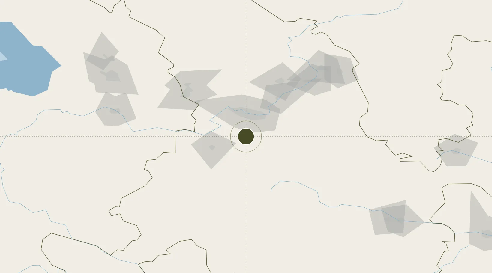
35.7610°, 103.7069°
314 ha
Zone area
1,139.4 km
Nearest port
49.3 km
Nearest airport

Gateway access

Nearest neighbours — logibook spatial index (haversine) over the source coordinates

Zone profile

Zone type
Export Processing Zone
Open Zone Map
Region
Gansu
Open Zone Map
Status
Active
Open Zone Map
Management
Public
Open Zone Map
Operator
Gansu Lintao Economic Development Zone Management Committee
Open Zone Map
Legal framework
Lintao Economic Development Zone, Lintao County, Gansu Province (formerly known as The Lintao County Non-public economic Park) was established in June 2001 after being approved by the Provincial Economic and Trade Commission. In March 2006, the provincial
Open Zone Map

Location

Location of ozm-1096
Natural Earth 10m (public domain) · Gansu · ozm-1096 · 35.76, 103.71GoogleOSMYandex

Nearby Logistics Neighbours

Ports
  1. 1Hankow1139 km
  2. 2Tianjin Xin Gang1297 km
  3. 3Fang-Cheng1622 km
  4. 4Qinzhou1630 km
  5. 5Beihai1671 km
Nearest neighbours — logibook spatial index (haversine) over the source coordinates
Airports
  1. 1Lanzhou Air Base49 km
  2. 2Lintao Air Base52 km
  3. 3Lanzhou Zhongchuan International Airport84 km
  4. 4Gannan Xiahe Airport144 km
  5. 5Xining Caojiabao International Airport172 km
Nearest neighbours — logibook spatial index (haversine) over the source coordinates
Cities
  1. 1Lanzhou36 km
  2. 2Gaolan65 km
  3. 3Dingxi85 km
  4. 4Bayin98 km
  5. 5Qiaotou222 km
Nearest neighbours — logibook spatial index (haversine) over the source coordinates
DatabookThe Record of Consolidated Knowledge
China beyond logistics?
Browse databook

All Sources

Trade ZonesOpen Zone Map
CC BY
Portsthe NGA World Port Index
Public domain (US gov)
AirportsOurAirports
Public domain
LocationsUN/LOCODE
UN/LOCODE — free
← China trade zones