Export Processing Zone · China

Dananhai Petrochemical Industrial Zone Active
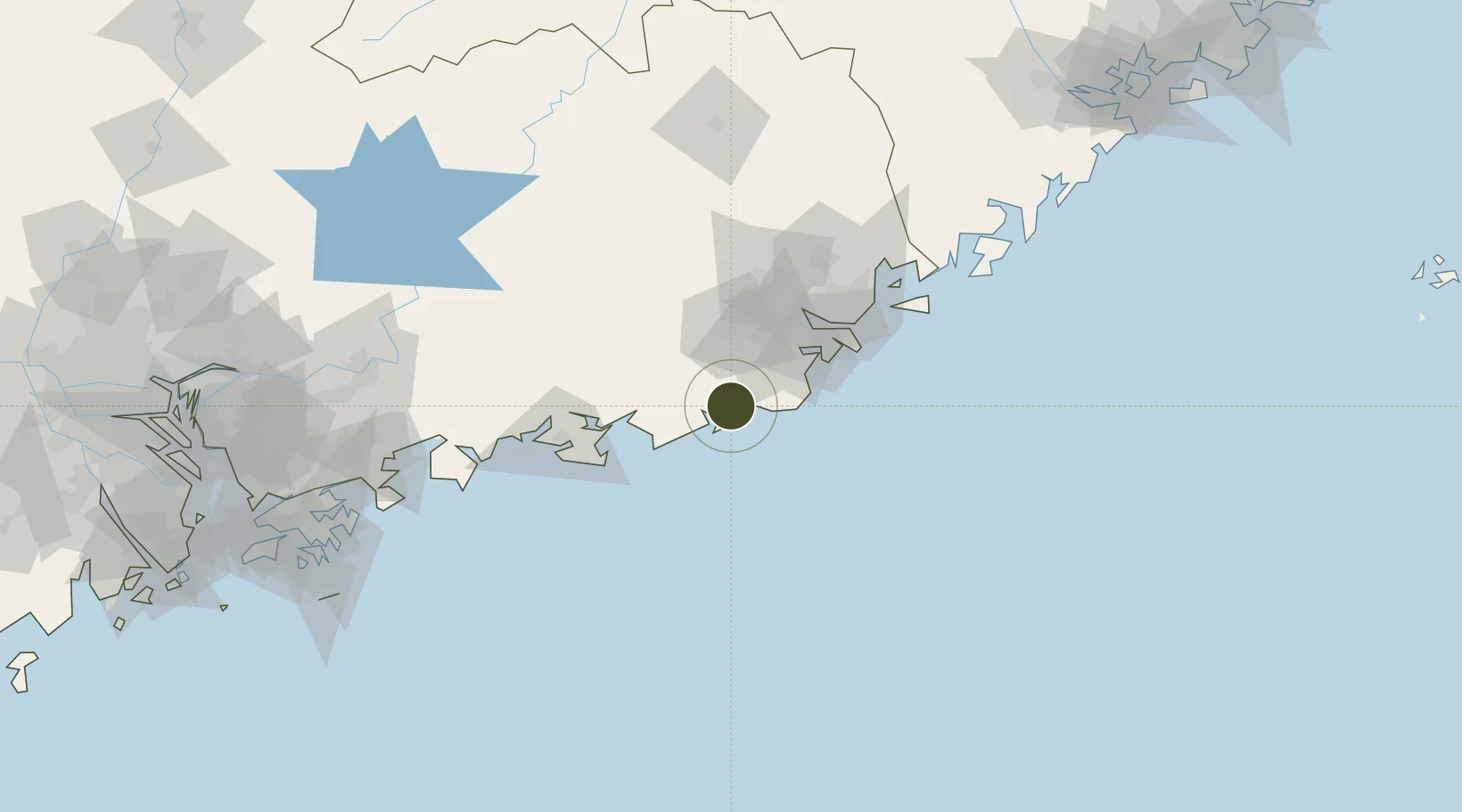
22.9544°, 116.1810°
4,200 ha
Zone area
118.0 km
Nearest port
74.2 km
Nearest airport

Gateway access

Nearest neighbours — logibook spatial index (haversine) over the source coordinates

Zone profile

Zone type
Export Processing Zone
Open Zone Map
Region
Guangdong
Open Zone Map
Status
Active
Open Zone Map
Management
Public
Open Zone Map
Operator
Management Committee of Nanhai Petrochemical Industrial Zone, Jieyang University
Open Zone Map
Legal framework
Jieyang Nanhai Petrochemical Industrial Zone (hereinafter referred to as the "Industrial zone") was approved by guangdong Provincial Government and listed in the "China Development Zone List of Announcement of Examination and Approval".
Open Zone Map

Location

Location of ozm-1416
Natural Earth 10m (public domain) · Guangdong · ozm-1416 · 22.95, 116.18GoogleOSMYandex

Nearby Logistics Neighbours

Ports
  1. 1Chaozhou118 km
  2. 2Dongshan162 km
  3. 3Huizhou173 km
  4. 4Yantian201 km
  5. 5Hong Kong217 km
Nearest neighbours — logibook spatial index (haversine) over the source coordinates
Airports
  1. 1Jieyang Chaoshan International Airport74 km
  2. 2Meizhou Meixian Changgangji International Airport146 km
  3. 3Huizhou Pingtan Airport162 km
  4. 4Shun Tak Heliport221 km
  5. 5Shek Kong Air Base223 km
Nearest neighbours — logibook spatial index (haversine) over the source coordinates
Cities
  1. 1Jinghai15 km
  2. 2Jiazi17 km
  3. 3Puning39 km
  4. 4Chaoyang Pt55 km
  5. 5Wukan56 km
Nearest neighbours — logibook spatial index (haversine) over the source coordinates
DatabookThe Record of Consolidated Knowledge
China beyond logistics?
Browse databook

All Sources

Trade ZonesOpen Zone Map
CC BY
Portsthe NGA World Port Index
Public domain (US gov)
AirportsOurAirports
Public domain
LocationsUN/LOCODE
UN/LOCODE — free
← China trade zones