Transport Functions
Multimodal
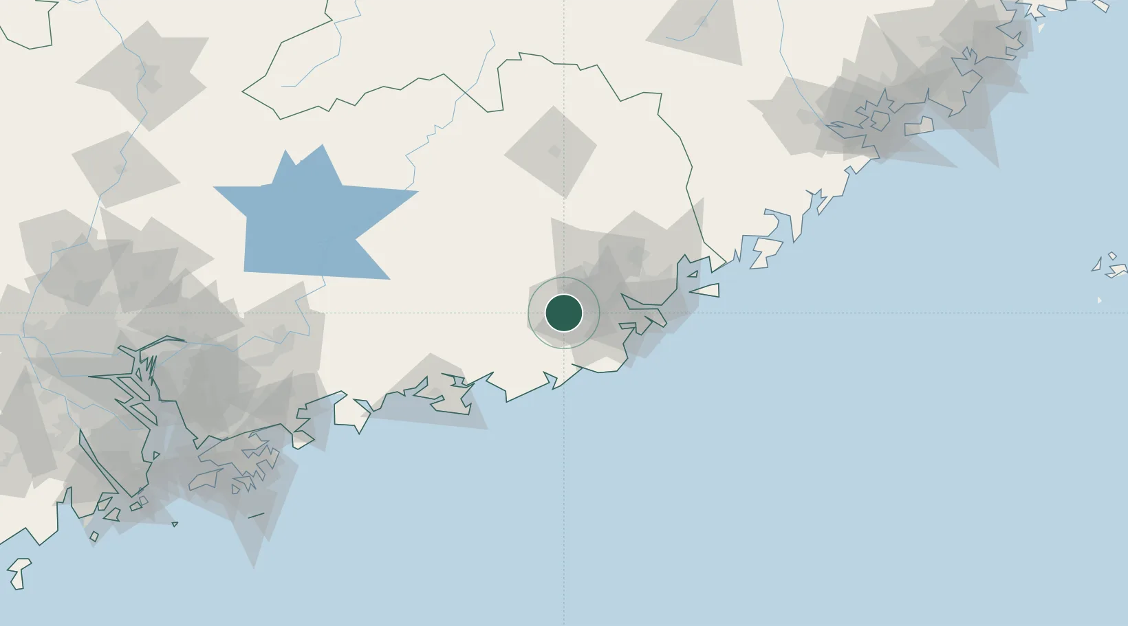
Hub Profile
Place type
Populated place
Region
Guangdong
Population
874,954
Time zone
Asia/Shanghai
Elevation
12 m
Location
Nearby Logistics Neighbours
Cities
- 1Jinghai33 km
- 2Xiluzhen35 km
- 3Quxi42 km
- 4Chaoyang Pt44 km
- 5Jiazi50 km
Airports
DatabookThe Record of Consolidated Knowledge
China beyond logistics?