Diversified Zone · China

Jieyang Industrial Transfer Industrial Park Active
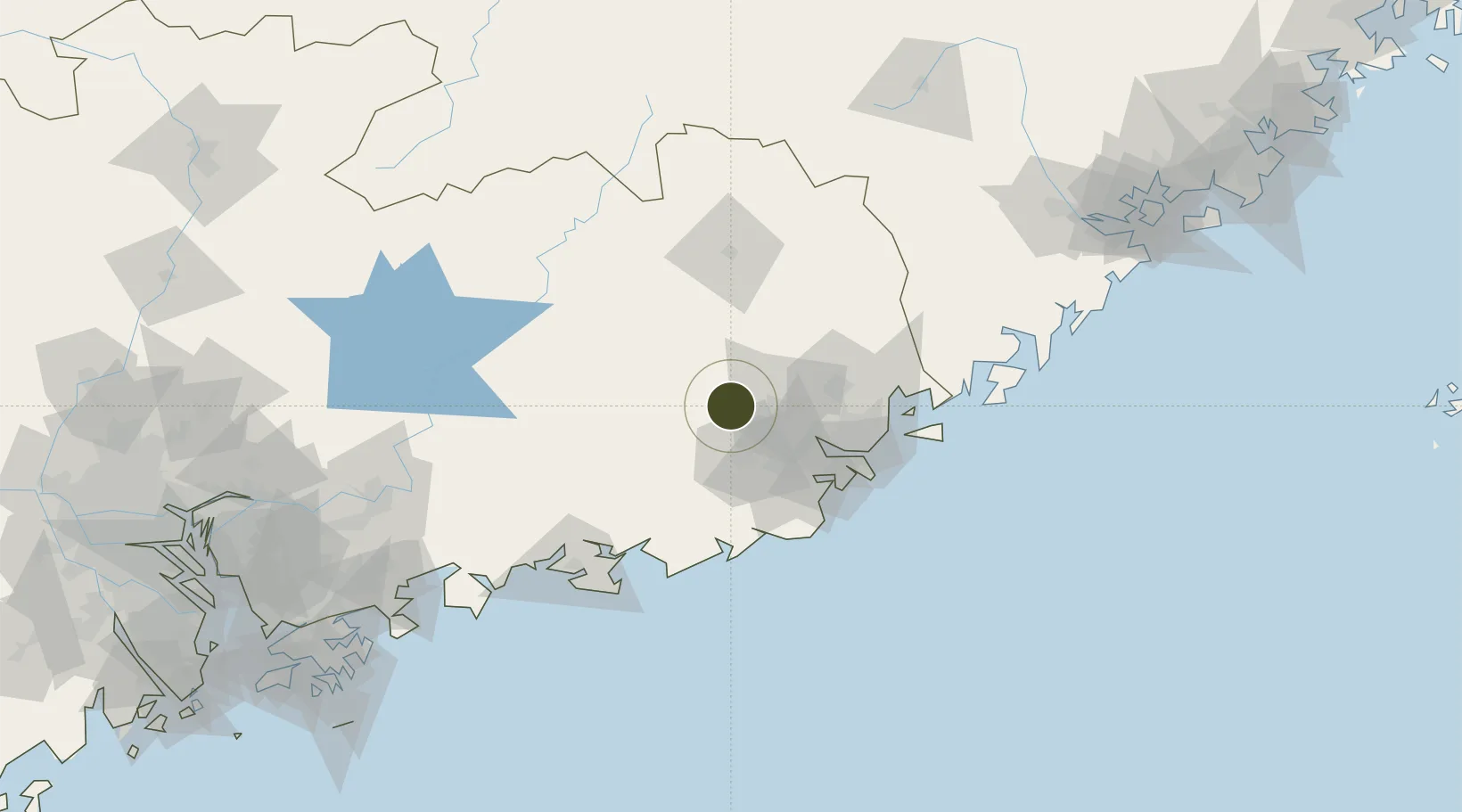
23.5672°, 116.1147°
21,100 ha
Zone area
98.9 km
Nearest port
39.6 km
Nearest airport

Gateway access

Nearest neighbours — logibook spatial index (haversine) over the source coordinates

Zone profile

Zone type
Diversified Zone
Open Zone Map
Region
Guangdong
Open Zone Map
Status
Active
Open Zone Map
Management
Public
Open Zone Map
Operator
Management Committee of Jieyang Industrial Transfer Industrial Park
Open Zone Map
Legal framework
It was established on December 14, 2016
Open Zone Map

Location

Location of ozm-1018
Natural Earth 10m (public domain) · Guangdong · ozm-1018 · 23.57, 116.11GoogleOSMYandex

Nearby Logistics Neighbours

Ports
  1. 1Chaozhou99 km
  2. 2Dongshan143 km
  3. 3Huizhou189 km
  4. 4Yantian218 km
  5. 5Xiamen221 km
Nearest neighbours — logibook spatial index (haversine) over the source coordinates
Airports
  1. 1Jieyang Chaoshan International Airport40 km
  2. 2Meizhou Meixian Changgangji International Airport77 km
  3. 3Huizhou Pingtan Airport165 km
  4. 4Xiamen Gaoqi International Airport231 km
  5. 5Liancheng Guanzhishan Airport243 km
Nearest neighbours — logibook spatial index (haversine) over the source coordinates
Cities
  1. 1Puning30 km
  2. 2Quxi33 km
  3. 3Xiluzhen44 km
  4. 4Chaoyang Pt60 km
  5. 5Jinghai62 km
Nearest neighbours — logibook spatial index (haversine) over the source coordinates
Trade Zones
  1. 1Jieyang High-tech Industrial Development Zone0 km
  2. 2Fengshun Economic Development Zone21 km
  3. 3Rongcheng Industrial Park30 km
  4. 4Jiedong Economic Development Zone33 km
  5. 5Xingning City Industrial Transfer Industrial Park53 km
Nearest neighbours — logibook spatial index (haversine) over the source coordinates
DatabookThe Record of Consolidated Knowledge
China beyond logistics?
Browse databook

All Sources

Trade ZonesOpen Zone Map
CC BY
Portsthe NGA World Port Index
Public domain (US gov)
AirportsOurAirports
Public domain
LocationsUN/LOCODE
UN/LOCODE — free
← China trade zones