Transport Functions
Port
Hub Profile
Place type
Local administrative seat
Region
Guangdong
Time zone
Asia/Shanghai
Elevation
7 m
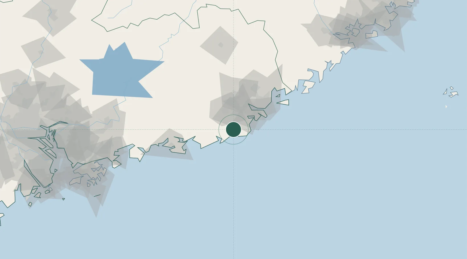
Location
Nearby Logistics Neighbours
Cities
- 1Jiazi32 km
- 2Puning33 km
- 3Chaoyang Pt40 km
- 4Xiluzhen44 km
- 5Guang'ao53 km
Airports
DatabookThe Record of Consolidated Knowledge
China beyond logistics?