Export Processing Zone · China

Xinqiao International Industrial Park Active
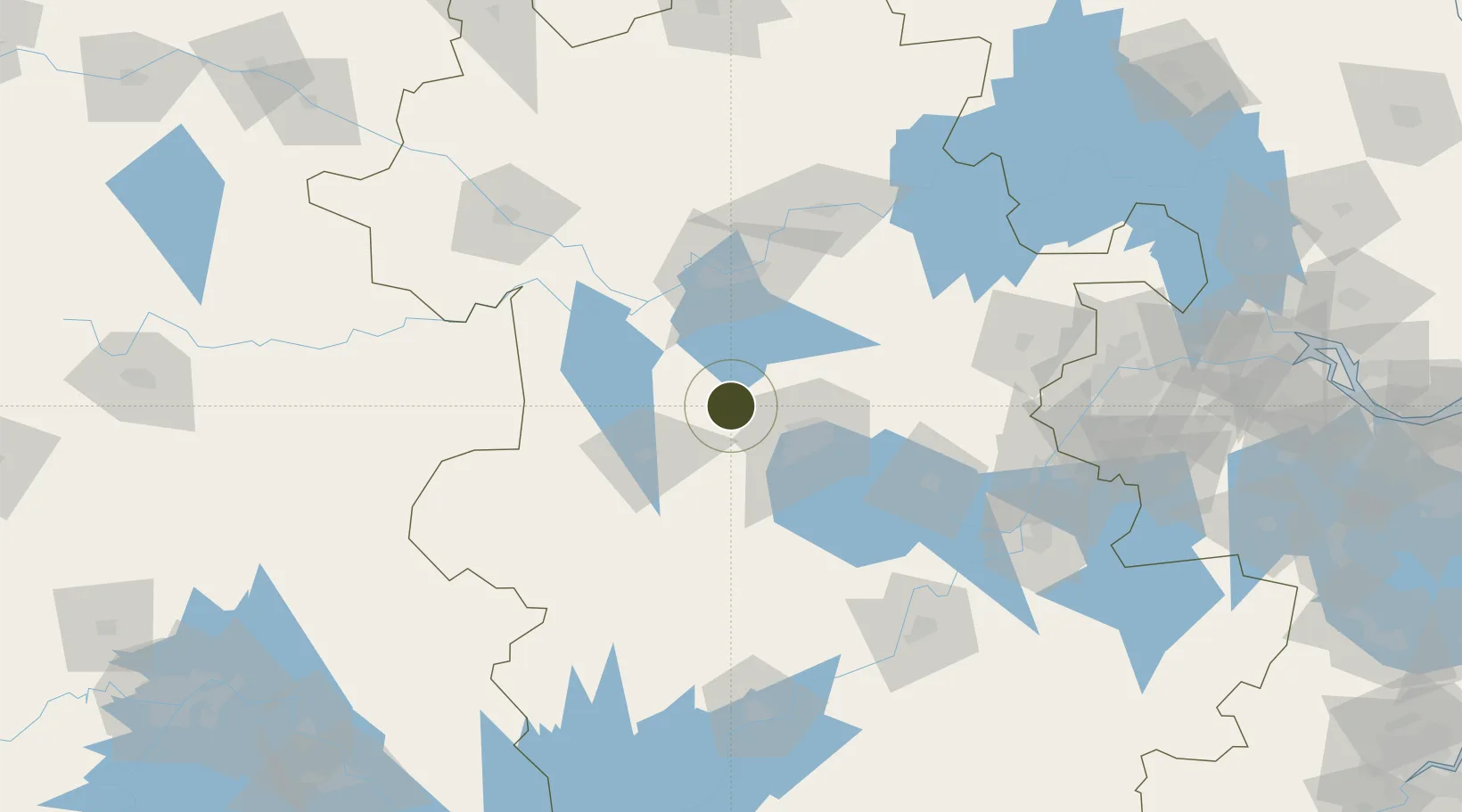
32.0003°, 116.9169°
4,000 ha
Zone area
173.0 km
Nearest port
5.8 km
Nearest airport

Gateway access

Nearest neighbours — logibook spatial index (haversine) over the source coordinates

Zone profile

Zone type
Export Processing Zone
Open Zone Map
Region
Anhui
Open Zone Map
Status
Active
Open Zone Map
Management
Public
Open Zone Map
Operator
Xinqiao International Industrial Park Management Committee
Open Zone Map
Legal framework
Unavailable
Open Zone Map

Location

Location of ozm-1413
Natural Earth 10m (public domain) · Anhui · ozm-1413 · 32.00, 116.92GoogleOSMYandex

Nearby Logistics Neighbours

Ports
  1. 1Nanjing173 km
  2. 2Zhenjiang238 km
  3. 3Yangzhou239 km
  4. 4Gaogang278 km
  5. 5Changzhou289 km
Nearest neighbours — logibook spatial index (haversine) over the source coordinates
Airports
  1. 1Hefei Xinqiao International Airport6 km
  2. 2Feidong Air Base71 km
  3. 3Bengbu Tenghu Airport102 km
  4. 4Bengbu Tenghu Airport130 km
  5. 5Fuyang Xiguan Airport148 km
Nearest neighbours — logibook spatial index (haversine) over the source coordinates
Cities
  1. 1Hefei38 km
  2. 2Lu'an51 km
  3. 3Zhaogang67 km
  4. 4Chaohu99 km
  5. 5Quanjiao109 km
Nearest neighbours — logibook spatial index (haversine) over the source coordinates
Trade Zones
  1. 1Shushan Economic Development Zone27 km
  2. 2Hefei Shushan Economic Development Area30 km
  3. 3Changfeng Shuangfeng Economic Development Zone35 km
  4. 4Shuangfeng Economic Development Zone35 km
  5. 5Luyang Economic Development Zone37 km
Nearest neighbours — logibook spatial index (haversine) over the source coordinates
DatabookThe Record of Consolidated Knowledge
China beyond logistics?
Browse databook

All Sources

Trade ZonesOpen Zone Map
CC BY
Portsthe NGA World Port Index
Public domain (US gov)
AirportsOurAirports
Public domain
LocationsUN/LOCODE
UN/LOCODE — free
← China trade zones