Export Processing Zone · China

Shuangfeng Economic Development Zone Active
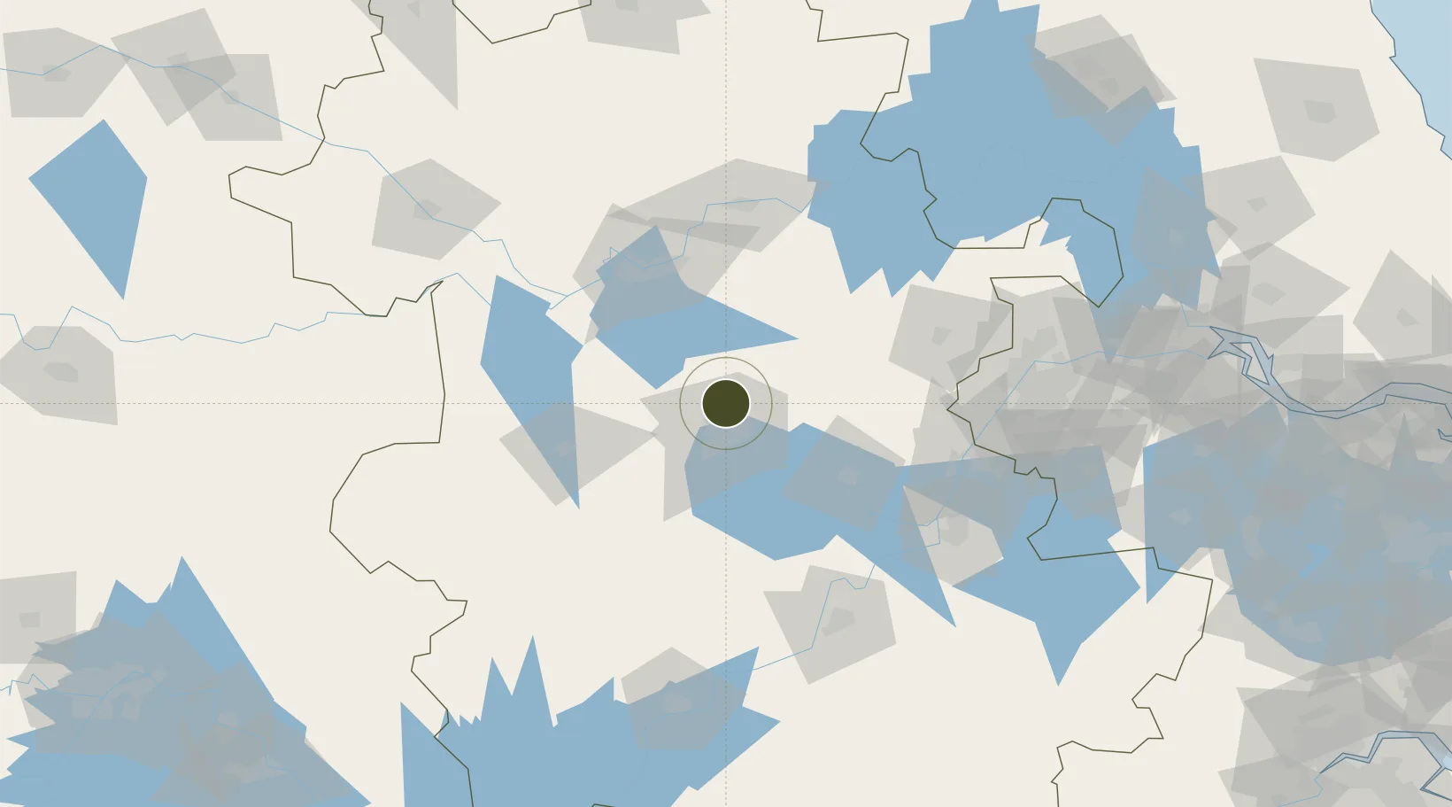
31.9827°, 117.2839°
3,300 ha
Zone area
138.7 km
Nearest port
29.0 km
Nearest airport

Gateway access

Nearest neighbours — logibook spatial index (haversine) over the source coordinates

Zone profile

Zone type
Export Processing Zone
Open Zone Map
Region
Anhui
Open Zone Map
Status
Active
Open Zone Map
Management
Public
Open Zone Map
Operator
Management Committee of Shuangfeng Development Zone
Open Zone Map
Legal framework
The northern part of hefei's "1331" space development strategy
Open Zone Map

Location

Location of ozm-1398
Natural Earth 10m (public domain) · Anhui · ozm-1398 · 31.98, 117.28GoogleOSMYandex

Nearby Logistics Neighbours

Ports
  1. 1Nanjing139 km
  2. 2Zhenjiang204 km
  3. 3Yangzhou205 km
  4. 4Gaogang244 km
  5. 5Changzhou255 km
Nearest neighbours — logibook spatial index (haversine) over the source coordinates
Airports
  1. 1Hefei Xinqiao International Airport29 km
  2. 2Feidong Air Base36 km
  3. 3Bengbu Tenghu Airport96 km
  4. 4Bengbu Tenghu Airport133 km
  5. 5Chizhou Jiuhuashan Airport143 km
Nearest neighbours — logibook spatial index (haversine) over the source coordinates
Cities
  1. 1Hefei13 km
  2. 2Chaohu68 km
  3. 3Quanjiao74 km
  4. 4Lu'an81 km
  5. 5Zhaogang88 km
Nearest neighbours — logibook spatial index (haversine) over the source coordinates
Trade Zones
  1. 1Changfeng Shuangfeng Economic Development Zone0 km
  2. 2Hefei Xinzhan General Pilot Zone10 km
  3. 3Hefei Shushan Economic Development Area16 km
  4. 4Shushan Economic Development Zone18 km
  5. 5Feidong Economic Development Zone18 km
Nearest neighbours — logibook spatial index (haversine) over the source coordinates
DatabookThe Record of Consolidated Knowledge
China beyond logistics?
Browse databook

All Sources

Trade ZonesOpen Zone Map
CC BY
Portsthe NGA World Port Index
Public domain (US gov)
AirportsOurAirports
Public domain
LocationsUN/LOCODE
UN/LOCODE — free
← China trade zones