Export Processing Zone · China

Shushan Economic Development Zone Active
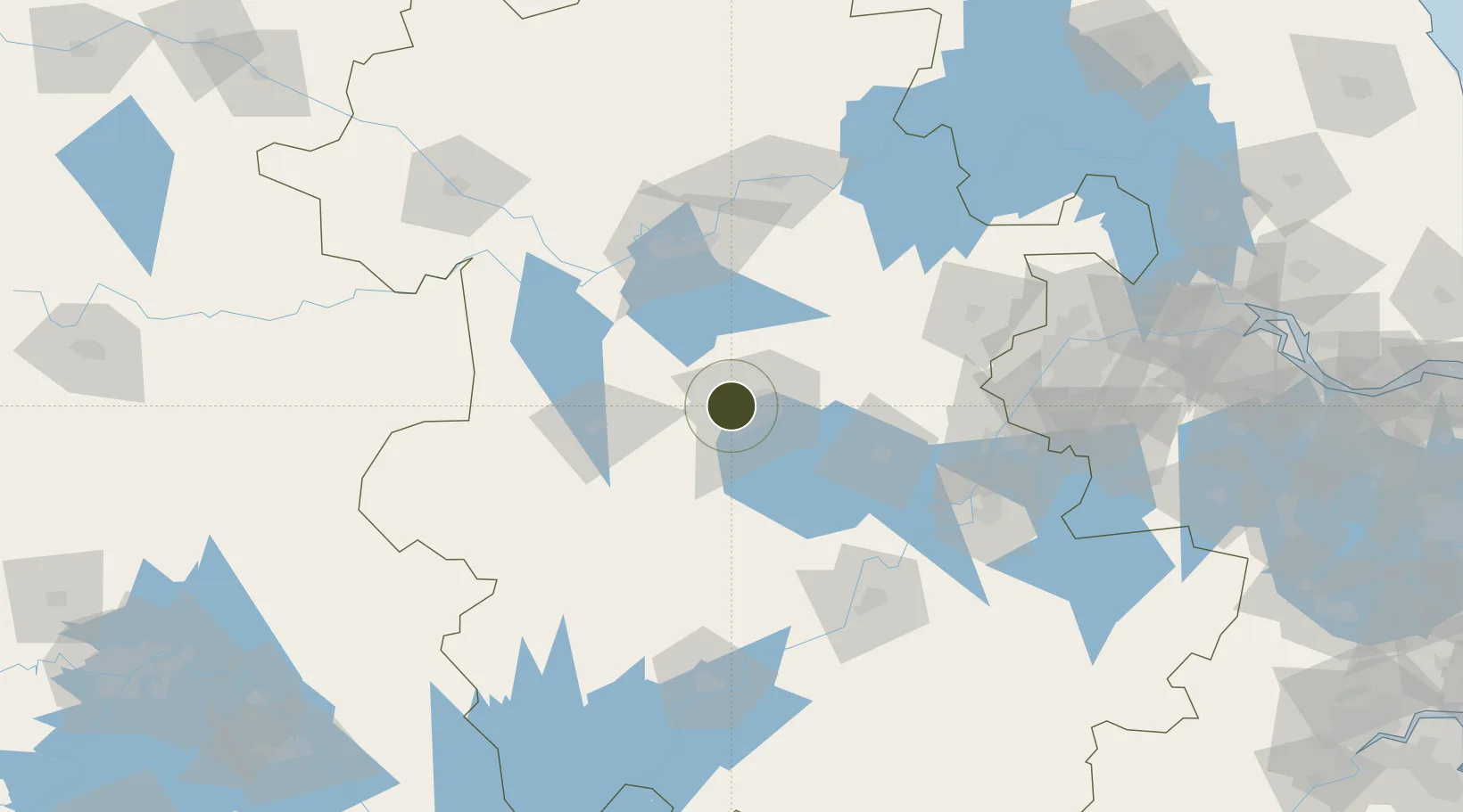
31.8634°, 117.1576°
347 ha
Zone area
152.2 km
Nearest port
22.0 km
Nearest airport

Gateway access

Nearest neighbours — logibook spatial index (haversine) over the source coordinates

Zone profile

Zone type
Export Processing Zone
Open Zone Map
Region
Anhui
Open Zone Map
Status
Active
Open Zone Map
Management
Public
Open Zone Map
Operator
Working Committee of Shushan Economic Development Zone
Open Zone Map
Legal framework
Law of the People's Republic of China on Urban and Rural Planning, Regulations of Anhui Province on Urban and Rural Planning Environmental Impact Assessment Law of the People's Republic of China, Regulations on Planning Environmental Impact Assessment, Me
Open Zone Map

Location

Location of ozm-1102
Natural Earth 10m (public domain) · Anhui · ozm-1102 · 31.86, 117.16GoogleOSMYandex

Nearby Logistics Neighbours

Ports
  1. 1Nanjing152 km
  2. 2Zhenjiang218 km
  3. 3Yangzhou219 km
  4. 4Gaogang258 km
  5. 5Changzhou267 km
Nearest neighbours — logibook spatial index (haversine) over the source coordinates
Airports
  1. 1Hefei Xinqiao International Airport22 km
  2. 2Feidong Air Base48 km
  3. 3Bengbu Tenghu Airport111 km
  4. 4Chizhou Jiuhuashan Airport135 km
  5. 5Anqing Tianzhushan Airport / Anqing North Air Base143 km
Nearest neighbours — logibook spatial index (haversine) over the source coordinates
Cities
  1. 1Hefei12 km
  2. 2Lu'an65 km
  3. 3Chaohu72 km
  4. 4Quanjiao88 km
  5. 5Zhaogang91 km
Nearest neighbours — logibook spatial index (haversine) over the source coordinates
DatabookThe Record of Consolidated Knowledge
China beyond logistics?
Browse databook

All Sources

Trade ZonesOpen Zone Map
CC BY
Portsthe NGA World Port Index
Public domain (US gov)
AirportsOurAirports
Public domain
LocationsUN/LOCODE
UN/LOCODE — free
← China trade zones